What is recorded here
Mnemo knows the fit. You know the fit because your body repeated it, suffered it, and waited for recognition. The chamber is only the largest visible room in that system.
Situated on a slight shelf of a SE-facing slope in a coniferous forest. This is a circular area (diam. 31.6m N-S; 31m E-W; int. diam. 27.5m N-S; 26.7m E-W) defined by an earthen bank (Wth 3m at N, elsewhere up to 6m; int. H 0.2-0.7m; ext. H 1-1.3m) and an external fosse (Wth of top 5.5-6.3m; max. D 0.3m). The entrance (Wth 2.8m) is at ENE. The trees have now been cut and t is now excluded from the replanting (Bing 2013).
The above description is derived from 'The Archaeological Inventory of County Leitrim' compiled by Michael J. Moore (Dublin: Stationery Office, 2003). In certain instances the entries have been revised and updated in the light of recent research.
Date of upload: 23 September 2008
The monument record does not grant public access. Check the route and ask the landowner before entering private land.
- What survives
- Recorded monument
Places near here
 Sweat Ho.Sweathouse · 222 yd
 IndicatedFairy fort / stone ringfort · 513 yd
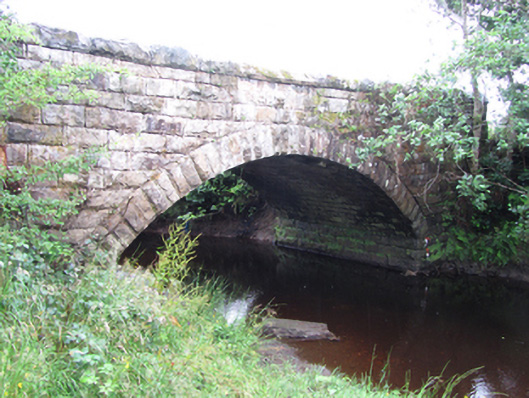 New Bridgebridge · 1342 yd
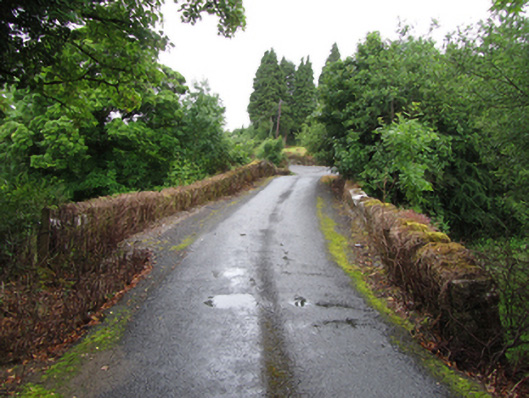 Old Bridgebridge · 1361 yd
 ArdlougherMountain / peak · 1.5 mi
 Forde's CastleCastle · 1.8 mi
 Republican Garden of RemembranceMemorial · 2.0 mi
 Gull RockIslet · 2.0 mi
 Gull IslandIslet · 2.0 mi
 Corrard ForestForest · 2.7 mi
 CarrickbrannanMountain / peak · 3.0 mi
 Black PoplarBlack Poplar · 3.2 mi