What is recorded here
Fairy forts are human ringforts misnamed by folklore, and Donaghmore is no exception. Its double bank and central ditch still mark a small defended farmstead from the medieval period. The fairy label is a story later people told because the shape seemed otherworldish. Under that name, the fort becomes a chamber where human life and imagination still meet.
A circular area (diam. c. 32.3m) defined by an inner bank (Wth c. 3.1m; int. H c. 0.7m, ext. H c. 1.3m), intervening fosse (Wth c. 4.2m) and outer bank (Wth c. 2.7m; int. H c. 1.1m, ext. H c. 0.5m) at N. Possible original entrance with causeway at E.
The above description is derived from the published 'Archaeological Inventory of County Laois' (Dublin Stationery Office, 1995) compiled by P. David Sweetman, Olive Alcock and Bernie Moran. In certain instances the entries have been revised and updated in the light of recent research.
Date of upload: 17 December 2007
The monument record does not grant public access. Check the route and ask the landowner before entering private land.
- What survives
- Recorded monument
Places near here
 Enclosure in Johnstown GlebeEnclosure · 896 yd
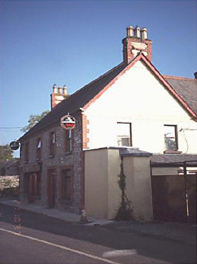 public housepublic house · 897 yd
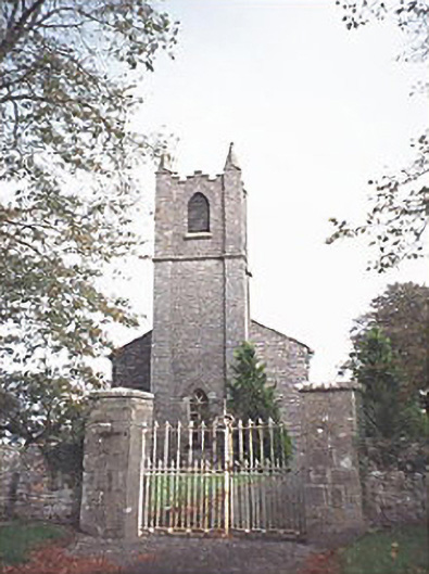 Saint Patrick's Church (Donaghmore)church/chapel · 945 yd
 Donaghmore Castle ruinsCastle · 1182 yd
 Donaghmore MoatCastle, motte · 1205 yd
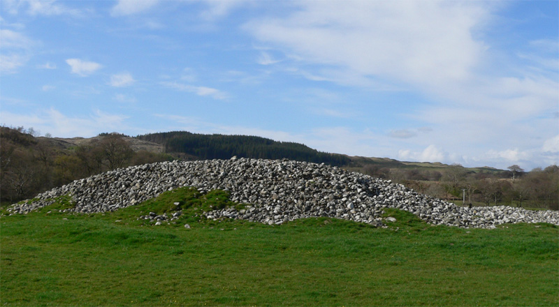 Enclosure in Ballyhegadon GlebeEnclosure · 1403 yd
 Big WoodWood · 4.4 mi
 Cnoc SeanrathaMemorial · 4.5 mi
 Clonmeen WoodWood · 4.8 mi
 Tullow HillMountain / peak · 6.5 mi
 DelaneyMemorial · 8.2 mi
 College HillMountain / peak · 10 mi