What is recorded here
In pasture, on a slight E-facing slope on top of a ridge. A raised circular area (33m N-S; 32m E-W) defined by an inner earth and stone bank, an intervening fosse and an outer earthen bank. The inner earthen bank (int. H 0.7m; Ext. H 1.95m) encloses the interior WSW-ENE and SE-SSW. The inner bank has been quarried away SSW-WSW and eroded by cattle breaks at NW (Wth 6m), at N (Wth 4m) and at S (Wth 4m). The break at S has a slight causeway across the fosse caused by outward slumping of the inner bank. There is a possible entrance at E (Wth 7m) with an adjacent area to S disturbed by quarrying. The intervening fosse (Wth 3m at base) and the outer earthen bank (int. H 0.85m; ext. H. 0.55m) are evident SE-NE. A field boundary truncates the outer bank NE-SE, a second field boundary abuts the external face of the outer bank along the W arc. The interior is undulating and strewn with rocks and slopes gently down to E. Some of the undulations may be the result of quarrying. A small rectangular earthwork is located just outside the outer bank at NNE. This earthwork consists of a raised rectangular area (4m N-S; 4.7m E-W) defined by an earth and stone bank (int. H 0.3m; ext. H 0.45m). The interior is slightly concave in profile and clear of overgrowth. On the SE side of this earthwork, outside the base of the bank at the SE corner, a shallow drain (D 0.3m) with an earthen bank (H 0.45m) on its N side (both orientated E-W) has been dug extending E to a field boundary. Roughly 1.5m to the W of the rectangular earthwork is a series of low earth and stone mounds (diam. 1.5-2.5m; H 0.8-1m). A low earthen bank (ext. H 0.25m) which runs parallel to the W edge of the rectangular earthwork defines the limit of these mounds on the E side.
The above description is derived from the published 'Archaeological Inventory of County Sligo' compiled by Ursula Egan, Elizabeth Byrne, Mary Sleeman with Sheila Ronan and Connie Murphy (Dublin Stationery Office, 2005).
Date of upload: 18 January 2008
The monument record does not grant public access. Check the route and ask the landowner before entering private land.
- What survives
- Recorded monument
Places near here
 RathdoonyCastle, motte · 1143 yd
 Enclosure in Rathdoony BegEnclosure · 1343 yd
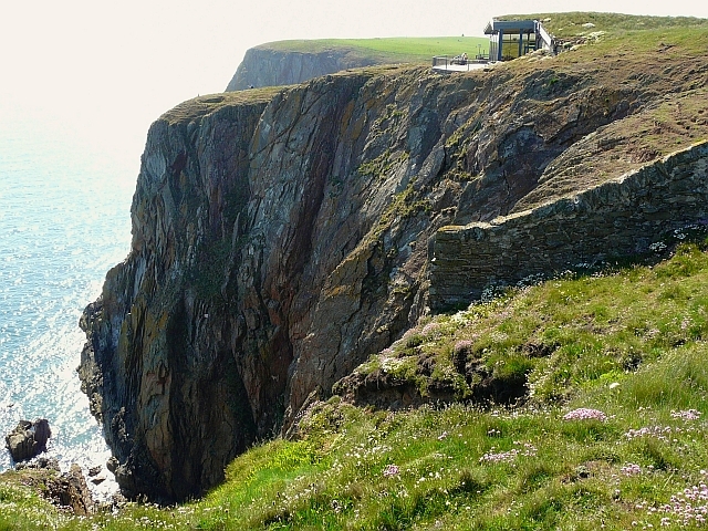 Cliff-edge fort in Carrigans UpperCliff-edge fort · 1360 yd
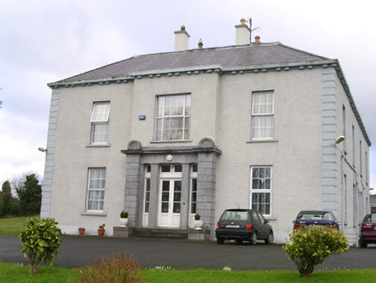 Earlsfieldhouse · 1564 yd
 KilnKiln, lime · 1566 yd
 Brother WalfridMemorial · 1.1 mi
 Ballymote CastleCastle · 1.2 mi
 ElderElder · 2.4 mi
 European ashEuropean ash · 2.9 mi
 James MorrisonMemorial · 3.9 mi
 Caves of KeshCave · 4.4 mi
 School CaveCave · 4.6 mi