What is recorded here
On a slight rise in well-drained pasture. Described in 1986 as a very overgrown but fairly well-preserved, small, raised, circular area (int. diam. 25m) defined by a scarp (H 1.5-2m) and an outer fosse (Wth 2m) which had been recut as a field drain, and widened W-N into a livestock watering hole. The interior was heavily poached by livestock taking shelter on the monument and an enclosing bank, first noted in 1955, was no longer visible (SMR file). Visible as being densely overgrown on a 2005 aerial photo (OSi Orthophoto).
Compiled by: Gearóid Conroy
Date of upload: 10 June 2011
The monument record does not grant public access. Check the route and ask the landowner before entering private land.
- What survives
- Recorded monument
Places near here
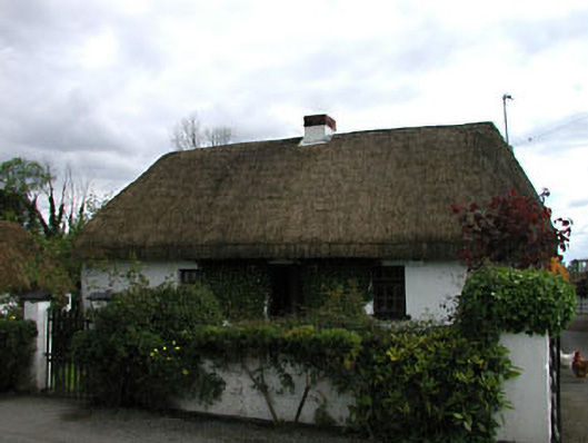 farm housefarm house · 686 yd
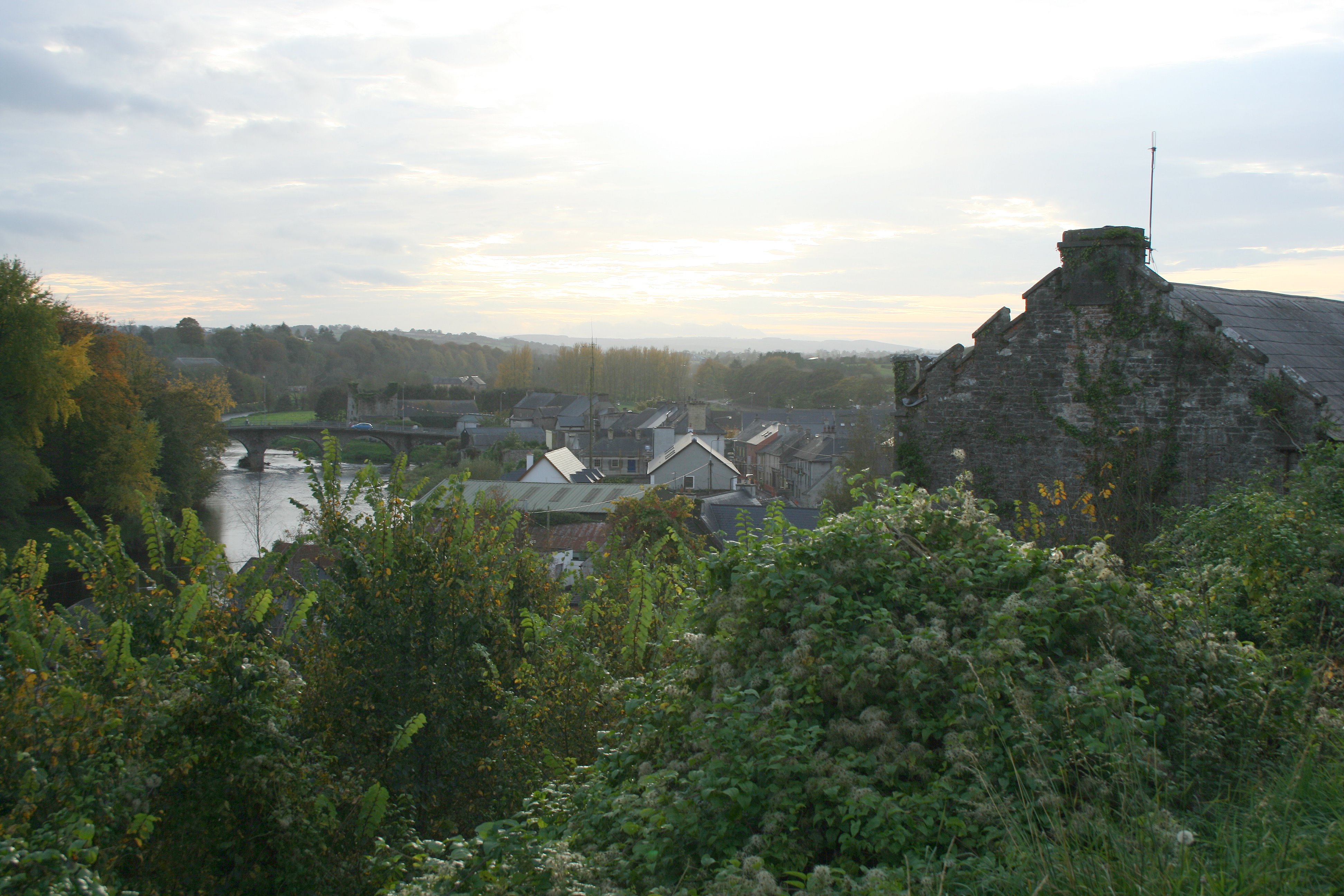 Enclosure in Thomastown (carragh Ed)Enclosure · 843 yd
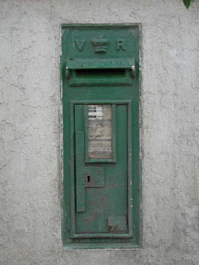 post boxpost box · 1233 yd
 Enclosure in YeomanstownEnclosure · 1434 yd
 Museum of MotorsportMuseum · 1.8 mi
 Castle RagCastle, tower house · 3.0 mi
 Sarsfield Castle (Site of)Castle, unclassified · 3.2 mi
 Grand Canal WayVisitor information · 3.7 mi
 Naas ParkWood · 3.9 mi
 Monread District Park WoodsWood · 3.9 mi
 Newbridge SilverwareMuseum · 4.3 mi
 Councillor Jim MileyMemorial · 9.8 mi