What is recorded here
Situated in level pasture. Ringfort (WM018-052----) c. 170m to SE. Depicted on the 1837 ed. OS 6-inch map and on the revised 1913 ed. OS 25-inch map as a circular-shaped earthwork. Monument described in 1983 as a bivallate circular-shaped area (diam. 33m) enclosed by an inner bank, an intervening fosse and a partially surviving outer bank. The inner bank (approx. H 1m) is a substantial earthen structure which rises approx. 1.5m above the fosse. It is best preserved from N-E-S and is denuded at W. Large boulders face the interior of the inner bank at E. There is a causewayed entrance at SE, which is defined either side by a large slabs on the inner bank. The intervening fosse (approx. Wth 4m) is broad and shallow. The outer earthen bank (H 0.75m) is best preserved from NE-E-SE and is much lower at SW and NW and is very faint at W. A Man-made underground passage (WM018-051001-) is located within the interior. Monument is visible as a circular-shaped tree-lined earthwork on Digital Globe aerial photography.
See attached plan and profile of monument surveyed and drawn by the ASI.
Compiled by: Alison McQueen, Vera Rahilly and Caimin O’Brien
Date of upload: 04 February 2019
The monument record does not grant public access. Check the route and ask the landowner before entering private land.
- What survives
- Recorded monument
Places near here
 Partially outlinedFairy fort / earthen ringfort · 435 yd
 Partially hachuredFairy fort / earthen ringfort · 484 yd
 Site of CastleCastle, unclassified · 917 yd
 Simonstown Castle (in Ruins)Castle, unclassified · 1232 yd
 Ancient Ring FortWood · 1412 yd
 P. Gunninghouse · 1431 yd
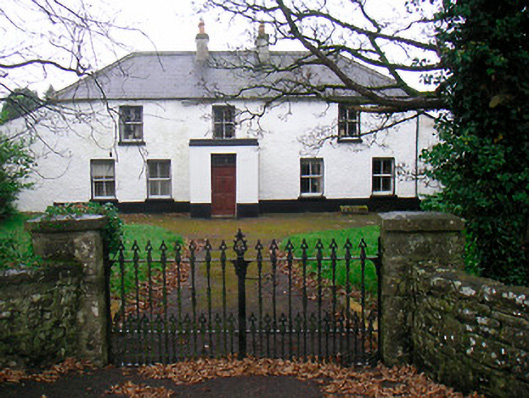 Ballyglass Househouse · 1448 yd
 Hill of UisneachMountain / peak · 4.0 mi
 Baronstown ForestWood · 4.1 mi
 Carrickphilbin IslandIslet · 5.0 mi
 Abbeyshrule AbbeyRuins · 6.3 mi
 Guest ServicesVisitor information · 7.8 mi