
What is recorded here
Situated in undulating pasture. Depicted on the 1837 ed. OS 6-inch map as a roughly U-shaped field boundary. Depicted on the revised 1913 ed. OS 25-inch map as a semi-circular-shaped field boundary.
Ringfort described in 1983 as a circular-shaped area (approx. dims. 60m NE-SW; 55m NW-SE) defined by the remains of a bank and a low scarp in places. The bank of earth and stone is best preserved SW-WNW where it is incorporated into a field fence. A low, degraded bank continues WNW-NNE, where it appears to be truncated by a field fence running NW-SE. The E quadrant of the monument is also truncated by a field boundary running NE-SW. The monument is defined by a low scarp from SE-SSE and from SSW-SW, where there is also a stone wall. There are no indications of an external fosse. The interior has been cultivated and the SW sector has been planted with trees to provide a shelter belt. A Man-made underground passage (WM018-035002-) is located in the centre. Monument is visible as a broad semi-circular-shaped tree-planted area on Digital Globe aerial photography.
See attached sketch plan and profile of monument surveyed and drawn by the ASI, which shows that the enclosing elements extended beyond the field boundary to NE and SE.
Compiled by: Alison McQueen, Vera Rahilly and Caimin O’Brien
Date of upload: 11 January 2019
The monument record does not grant public access. Check the route and ask the landowner before entering private land.
- What survives
- Recorded monument
Places near here
 OutlinedEnclosure · 558 yd
 Partially hachuredFairy fort / earthen ringfort · 784 yd
 Site of CastleCastle, unclassified · 1234 yd
 Milltown Castle in ruinsCastle, unclassified · 1286 yd
 Ancient Ring FortWood · 1390 yd
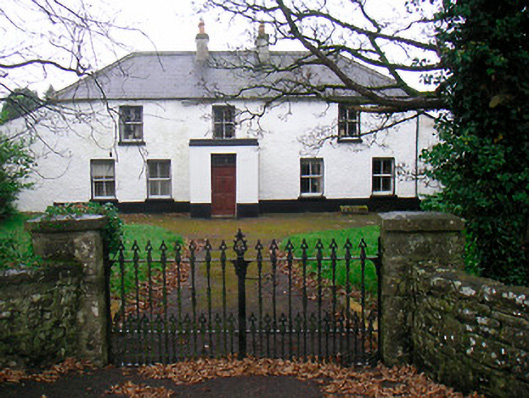 Ballyglass Househouse · 1662 yd
 P. Gunninghouse · 1706 yd
 Baronstown ForestWood · 4.0 mi
 Carrickphilbin IslandIslet · 5.1 mi
 Craft WorkshopHeritage attraction · 7.5 mi
 Guest ServicesVisitor information · 7.6 mi
 Goldsmith Birthplace, PallasVisitor information · 7.6 mi
Other information
Photo: Credit not shown in the picture search · Rights wording not checked; contact us if this picture should be removed