What is recorded here
Limerick and Clare both want the honour of this fort, though it stands in Cork. That much is clear from the name alone. What is less certain is whether the boundary between counties is a line drawn by people or a suggestion they invented later. The fort does not belong to either county. It belongs to the land, and the land answered before the counties existed.
In pasture, on N-facing slope. Circular area (40m N-S; 38m E-W) enclosed by earthen bank (int. H 1.05m; ext. H 2.15m) SW->SE; external fosse NW->NNW, very shallow NNW->SE. Break in bank to W (Wth 6m), narrow gap to N. Roadway curves to respect site to W and NW; E-W laneway truncates S side of enclosure. Recorded by Bowman (1934, 189) as double-ramparted fort in T. Buckley's with about 'one-third of outer rampart levelled, remainder c. 7ft high'. Limekiln marked on SW bank on 1842 OS 6-inch map.
See also - June 2000, unpublished archaeological monitoring report by Eachtra Archaeological Projects.
The above description is derived from the published 'Archaeological Inventory of County Cork. Volume 4: North Cork' (Dublin: Stationery Office, 2000). In certain instances the entries have been revised and updated in the light of recent research.
Date of upload/revision: 14 January 2009
The monument record does not grant public access. Check the route and ask the landowner before entering private land.
- What survives
- Recorded monument
Places near here
 Enclosure in Curragh (duhallow By., Clonfert Par.)Enclosure · 829 yd
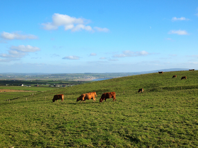 Fulacht fia in MeelaherraghFulacht fia · 1187 yd
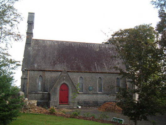 Saint Peter's Church (Clonfert)church/chapel · 1372 yd
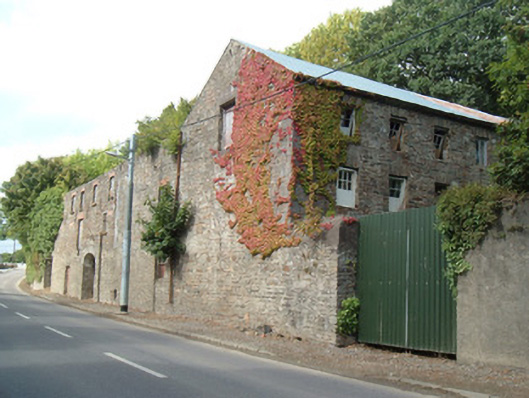 Quarry House Millmill (water) · 1427 yd
 Hanna SheehyMemorial · 1543 yd
 Kanturk CastleHeritage attraction · 1.9 mi
 Ballyheen Castle (Site of)Castle, unclassified · 2.8 mi
 Stanner's Glen, Priory WoodWood · 3.0 mi
 Burial ground in AssolasBurial ground · 3.1 mi
 European YewEuropean Yew · 3.4 mi
 CastleCastle, unclassified · 3.6 mi
 St Fursey's WellSpring · 4.1 mi