What is recorded here
Fairy fort / earthen ringfort in Curragh (clonmacnowen By.) is a poorly preserved circular rath about 32m across, marked by two banks and a fosse in undulating grassland. A road cuts it at NE and NW, a field boundary overlays the inner bank from SE to S, and a 3m gap at SE may be original. Grassed-over boulders inside suggest an internal division, leaving the place less like a complete fortress and more like a room whose walls keep giving way.
In undulating grassland. Very poorly preserved circular rath (D 32m) defined by two banks and an intervening fosse. A road cuts the monument at NE and NW and no visible surface trace survives to N of it. A field boundary which overlies the inner bank from SE to S has badly disturbed the enclosing elements. Gap (Wth 3m) at SE may be original. A series of grassed-over boulders within the interior may indicate an internal division.
The above description is derived from the published 'Archaeological Inventory of County Galway Vol. II - North Galway'. Compiled by Olive Alcock, Kathy de hÓra and Paul Gosling (Dublin: Stationery Office, 1999).
Date of upload: 05 August 2010
The monument record does not grant public access. Check the route and ask the landowner before entering private land.
- What survives
- Recorded monument
Places near here
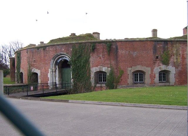 Childrens FortFairy fort / earthen ringfort · 1040 yd
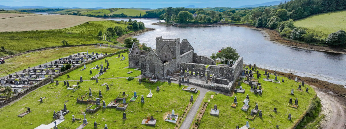 Caltragh FortEnclosure · 1050 yd
 Urraghry HillMountain / peak · 1215 yd
 West WoodWood · 1.0 mi
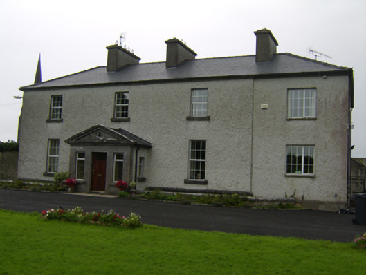 The Rectoryrectory/glebe/vicarage/curate's house · 1.3 mi
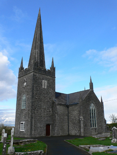 Holy Trinity Church (Aughrim)church/chapel · 1.3 mi
 Castle (Site of)Castle, Anglo-Norman masonry castle · 1.3 mi
 The bloody HollowHeritage attraction · 1.4 mi
 Battle of Aughrim Interpretative CentreMuseum · 1.5 mi
 Battle of AughrimMajor battlefield · 1.5 mi
 Oak WoodWood · 2.0 mi
 Ballagh Castle (in Ruins)Castle, unclassified · 2.4 mi