What is recorded here
Two conjoined ringforts once stood on a Curragh rise, their eastern circle and western D-shape joining across forty metres of grassland. Reclamation has since erased most of the earthworks, leaving only a faint oval vegetation band where human hands shaped the land. The transformation from mapped fort to hidden ground suggests these were not dead markers but living boundaries, constantly rewritten by the people who worked them.
On a rise in undulating grassland. Marked on the OS 6-inch maps as two conjoined ringforts aligned E-W. The E rath (GA087-058----) was circular in plan (D c. 40m), while W rath (GA087-058001-) was roughly D-shaped (NW-SE c. 40m). All that survives is an oval area (E-W 37m, N-S 33m) defined by a vegetation band. According to local information, the area was recently reclaimed.
The above description is derived from the published 'Archaeological Inventory of County Galway Vol. II - North Galway'. Compiled by Olive Alcock, Kathy de hÓra and Paul Gosling (Dublin: Stationery Office, 1999). In certain instances the entries have been revised and updated in the light of recent research.
Updated by: Olive Alcock
Date of revised upload: 8 December 2016
The monument record does not grant public access. Check the route and ask the landowner before entering private land.
- What survives
- Recorded monument
Places near here
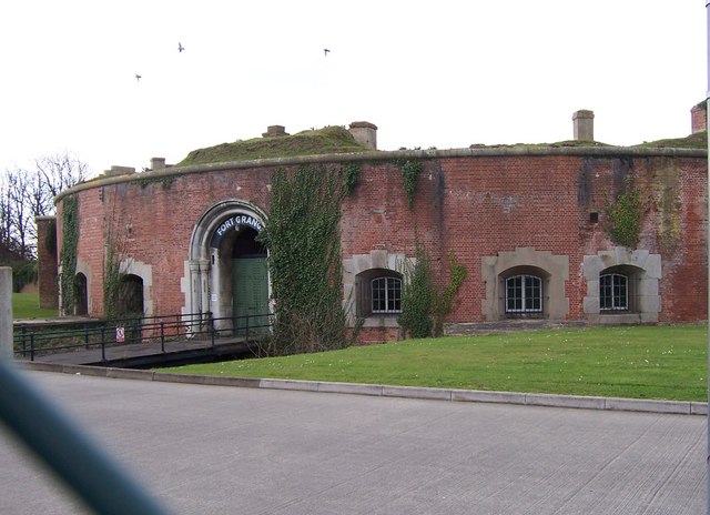 Childrens FortFairy fort / earthen ringfort · 368 yd
 Enclosure in Grange (clonmacnowen By.)Enclosure · 676 yd
 IndicatedChurch · 1664 yd
 West WoodWood · 1.0 mi
 Urraghry HillMountain / peak · 1.1 mi
 Castle (Site of)Castle, Anglo-Norman masonry castle · 1.3 mi
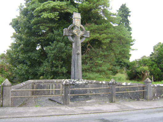 Patrick Hogan Monumentmonument · 1.3 mi
 Battle of Aughrim Interpretative CentreMuseum · 1.5 mi
 The bloody HollowHeritage attraction · 1.7 mi
 Battle of AughrimMajor battlefield · 1.7 mi
 Oak WoodWood · 1.8 mi
 Ballagh Castle (in Ruins)Castle, unclassified · 2.8 mi