What is recorded here
Situated on N facing slope of a low ridge, overlooked by slightly higher ground on all sides. The road which forms the townland boundary with Tevrin lies 70m to W. Depicted on the 1838 ed. OS Fair Plan map as a small oval-shaped earthwork that is annotated as a ‘fort’. Local information suggests that this site was levelled in the latter half of the nineteenth century. A raised area (approx. diam. 25m) defined by a low scarp marks the site of the levelled monument.
Compiled by: Frank Coyne and Caimin O'Brien
Date of upload: 23 July 2018
The monument record does not grant public access. Check the route and ask the landowner before entering private land.
- What survives
- Recorded monument
Places near here
 Hut site in Balrath North (moyashel & Magheradernon By.)Hut site · 299 yd
 Saint Joseph's Catholic Churchchurch/chapel · 755 yd
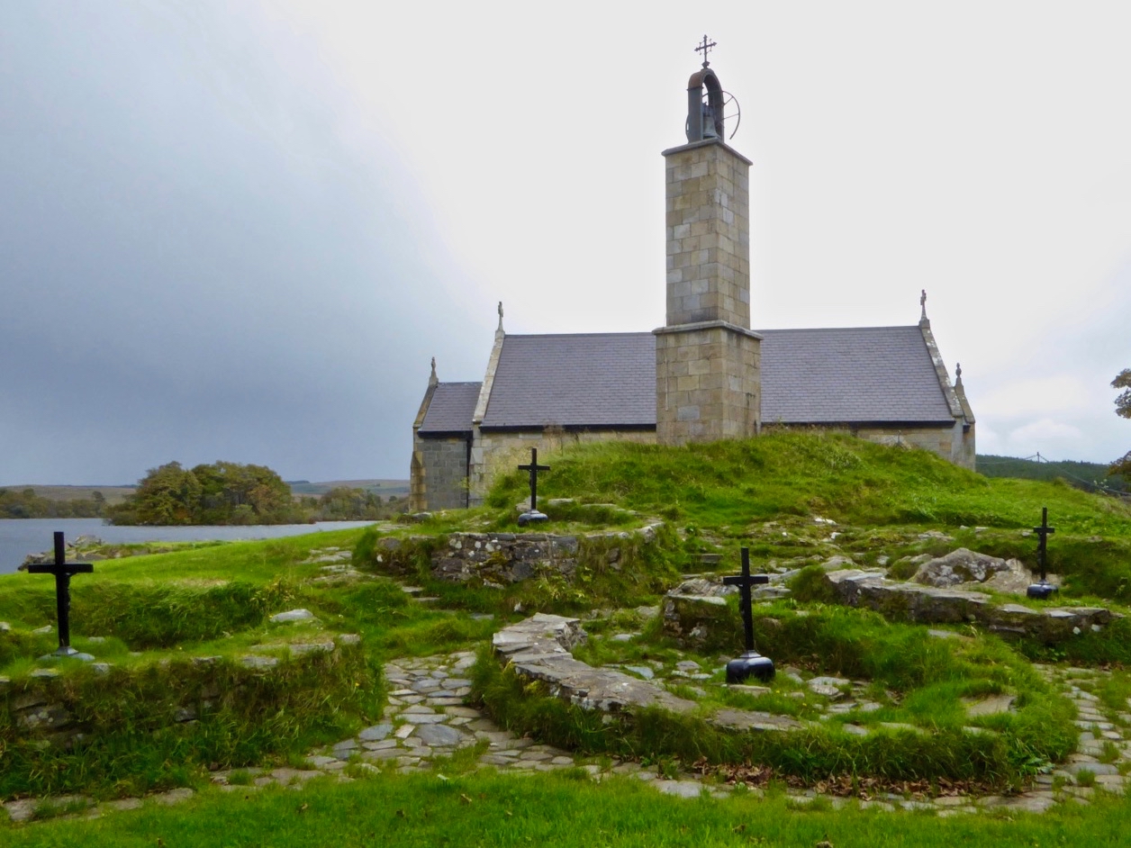 Partially hachuredEnclosure · 816 yd
 Chapel in ruinsChapel · 825 yd
 OutlinedCastle, unclassified · 1001 yd
 Site of Fennor CastleCastle, tower house · 1.1 mi
 GinkgoGinkgo · 1.1 mi
 KnockeyonMountain / peak · 5.6 mi
 The FurzeForest · 5.6 mi
 Kells HillMountain / peak · 8.5 mi
 Croppies' GraveMemorial · 12 mi
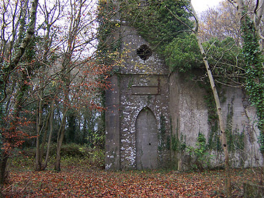 Church of Saint John the Baptist (Rathconnell)church/chapel · 883 yd