What is recorded here
Fairy forts are not for entry. They are for noticing. This is one of the larger ones, an oval of raised earth seventy-two metres across in County Cavan. Much of it has been levelled or absorbed into field boundaries, but the scale still reads. That is why it feels like a fairy fort rather than a ruin: it is big enough to exclude ordinary explanation.
Raised oval area (int. dims. c. 72m WNW-ESE; c. 61m NNE-SSW) enclosed by a low earthen bank and slight traces of a fosse identifiable only at W. Exterior of bank has been faced with stone and incorporated into the field boundary at W and N. The site is divided into two roughly equal portions by a field boundary running WNW-ESE, the area SSW of which has been largely levelled. Original entrance not recognisable.
The above description is derived from the published 'Archaeological Inventory of County Cavan' (Dublin: Stationery Office, 1995). In certain instances the entries have been revised and updated in the light of recent research.
Date of upload/revision: 22 December 2008
The monument record does not grant public access. Check the route and ask the landowner before entering private land.
- What survives
- Recorded monument
Places near here
 Church of the Immaculate Conceptionchurch/chapel · 1351 yd
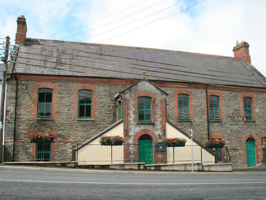 Kingscourt Librarychurch hall/parish hall · 1481 yd
 The CurraghWood · 1.1 mi
 CabraMountain / peak · 1.4 mi
 Ice HouseArchaeological place · 1.4 mi
 Giants GraveArchaeological place · 1.4 mi
 Horse-chestnutHorse-chestnut · 1.4 mi
 Fair of MuffMemorial · 1.5 mi
 Castle ruinsCastle, unclassified · 1.5 mi
 Castle in ruinsCastle, unclassified · 1.5 mi
 Cross in EnniskeenCross · 1.6 mi
 CornamaghMountain / peak · 2.4 mi