What is recorded here
In level, low-lying pasture. Depicted as a circular enclosure with the designation 'Fort' on the 1827 edition of the OS 6-inch map. A raised circular area (diam. 18.8m) defined by a low scarp (H 0.3m). There is no trace of a fosse and the original entrance is not recognisable. It is divided into roughly equal portions by modern field fences running E-W. The N half has been levelled and is not visible at ground level.
Compiled by: Patrick F. O'Donovan
Date of upload: 17 November 2011
This remains an important historical record, but the official description says the monument is no longer visible or has been destroyed. The monument record does not grant public access. Check the route and ask the landowner before entering private land.
- What survives
- No visible remains or recorded as destroyed
Places near here
 CastleCastle, motte · 899 yd
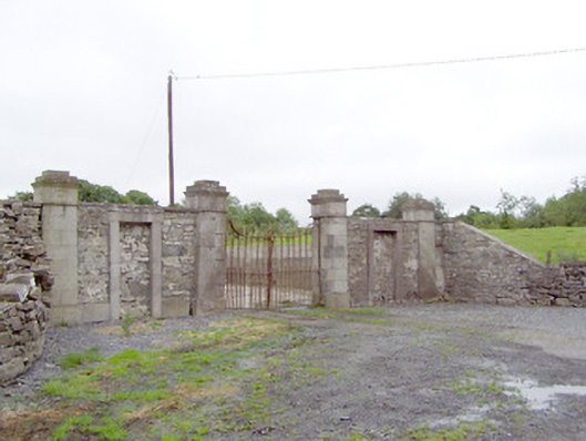 Newtownbond Housegates/railings/walls · 1481 yd
 KilnKiln, lime · 1486 yd
 BarrowBarrow, unclassified · 1.1 mi
 Enclosure in CloonahardEnclosure · 1.1 mi
 Bawn in LissardowlanBawn · 1.1 mi
 Oldtown DemesneForest · 2.0 mi
 Bully's Acregraveyard/cemetery, unknown · 4.0 mi
 Saint Mel's CathedralCathedral · 4.2 mi
 First World War MemorialMemorial · 4.3 mi
 National Famine WayWalking route · 5.4 mi
 Graveyard in Curry (ardagh By., Coolamber Ed)Graveyard · 5.8 mi