What is recorded here
Fairy fort / earthen ringfort in Corballyquill stood on the summit of a high drumlin hill, a raised subcircular area forty metres across enclosed by an earthen bank and fosse. It was described by Davies in 1946 within a tree plantation, though both the rath and the plantation have since been levelled. The site may have marked a boundary or a home before the trees and later the works erased it, leaving only the memory of a round place on a high hill.
Situated on the summit of a high drumlin hill within what was formerly a tree plantation. Described by Davies (ITA Survey 1946). It comprised a raised subcircular area (diam. c. 40m NE-SW) enclosed by a substantial earthen bank and a fosse. From ENE-E-SW the perimeter had been much modified and formed part of the boundary of the plantation. Both the rath and the plantation have been levelled. (CUCAP ALJ 87, ALJ 90).
The above description is derived from the published 'Archaeological Inventory of County Cavan' (Dublin: Stationery Office, 1995). In certain instances the entries have been revised and updated in the light of recent research.
Date of upload/revision: 22 December 2008
The monument record does not grant public access. Check the route and ask the landowner before entering private land.
- What survives
- Recorded monument
Places near here
 Brown's HillMountain / peak · 4 yd
 Whitelough PlantationsForest · 348 yd
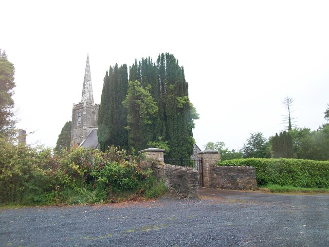 Ashfield Church of Ireland Churchchurch/chapel · 350 yd
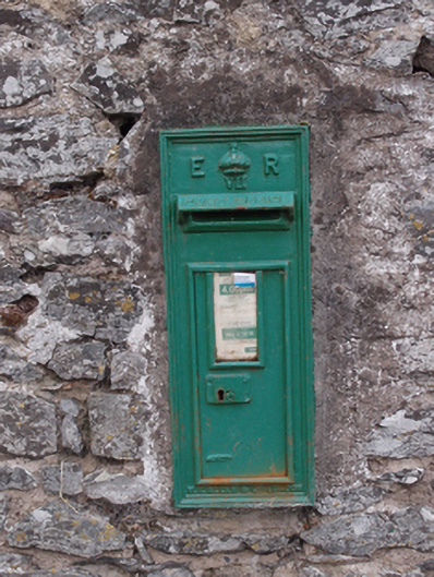 post boxpost box · 741 yd
 Church WoodForest · 768 yd
 Drummury FortArchaeological place · 1567 yd
 CortoberMountain / peak · 1724 yd
 IndicatedFairy fort / earthen ringfort · 1.2 mi
 Bawn in DrumsheilBawn · 1.6 mi
 CastleCastle, unclassified · 1.8 mi
 Giant's GraveArchaeological place · 3.6 mi
 Graveyard in Drumgoon (clankee By.)Graveyard · 4.0 mi