What is recorded here
Situated on a low rise in well drained grassland with good views of the surrounding countryside. An unusually large sub-circular shaped area (approx. diam. 61m N-S; 58m E-W) enclosed by a slight earth and stone bank. Traces of cultivation ridges are visible running NE-SW across the interior, which rises gently towards the centre. A field fence running NE-SW intersects the perimeter of the monument at SE, and a field fence running NW-SE intersects the perimeter at N.
See attached profile of monument surveyed and drawn by the ASI.
Compiled by: Frank Coyne and Caimin O'Brien
Date of upload: 23 May 2017
The monument record does not grant public access. Check the route and ask the landowner before entering private land.
- What survives
- Recorded monument
Places near here
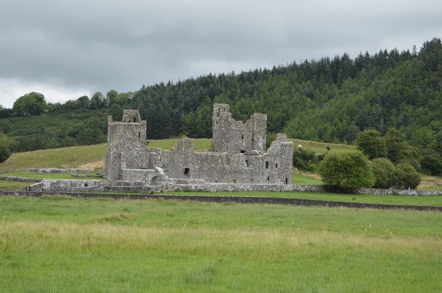 Partially hachuredFairy fort / earthen ringfort · 821 yd
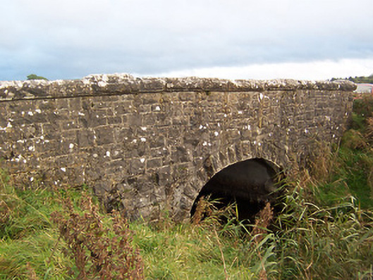 Stonestown Bridgebridge · 1022 yd
 Hachured, dotted outlineCastle, motte and bailey · 1268 yd
 OutlinedFairy fort / earthen ringfort · 1286 yd
 Church (in Ruins)Church · 1367 yd
 CastleCastle, tower house · 1379 yd
 European ashEuropean ash · 1.9 mi
 Fore AbbeyHeritage attraction · 2.4 mi
 St Feichin's MillHeritage attraction · 2.5 mi
 Silver FirSilver Fir · 2.5 mi
 Rock of CurryCliff · 2.8 mi
 Seafin HillMountain / peak · 4.0 mi