What is recorded here
No visible entrance to the fort, only a gap in the bank where the field drain cuts through. The fort has no door because it stopped being a fort long before roads reached the valley. What remains is a shallow circle of wet earth, half swallowed by grass, holding no more than the shape of human impatience: build quick, leave quick, let the land take back what it wants.
In pasture, on low-lying marshy ground. Sub-circular area (31m N-S; 27.2m E-W) enclosed by earthen bank, with external fosse (Wth 3.2m; D 0.4m) WSW->NW. Bank (int. H 1.25m; ext. H 2.4m), heavily masked by overgrowth, is best preserved at WNW. Entrance (Wth 4.5m) at E. Field boundary skirts around SW arc with drain opening into fosse at SW. Interior, only accessible at edges due to vegetation overgrowth, appears to rise gently towards centre; debris (including shell of old car) has been dumped against inner bank face at NW.
Compiled by: Denis Power
Date of upload: 26 August 2011
See attached ASI aerial photograph ASIAP – taken on 04/03/2006.
The monument record does not grant public access. Check the route and ask the landowner before entering private land.
- What survives
- Recorded monument
Places near here
 Mound in RanahanMound · 667 yd
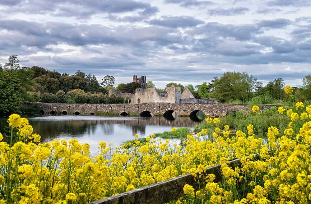 LisardArchaeological place · 812 yd
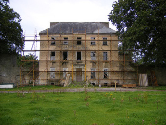 Riddlestown Parkcountry house · 1461 yd
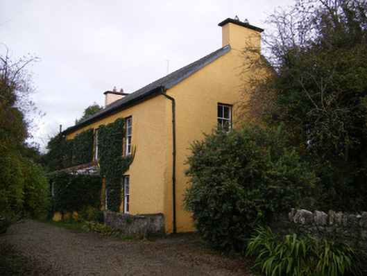 creamerycreamery · 1.1 mi
 Bawn in Lisnacullia (connello Lower By.)Bawn · 1.2 mi
 Bawn in StonevilleBawn · 2.1 mi
 TobernablahySpring · 2.2 mi
 St. Kieran's WellSpring · 2.2 mi
 Askeaton CastleHeritage attraction · 4.0 mi
 European ashEuropean ash · 4.5 mi
 Holly IslandIslet · 5.0 mi
 Foynes Flying Boat & Maritime MuseumMuseum · 6.3 mi