What is recorded here
Fairy forts are not a separate class from ordinary ringforts. They are human buildings renamed after people stopped knowing how they were made. Cooltomin is one of them. A circular earthwork about twenty-five metres across, partly levelled but still traceable in pasture, is all that remains visible. The fairy label is a measure of forgotten age, not proof of fairy building.
In pasture, on low-lying level terrain. Monument, depicted on 1923 OS 6-inch map as circular embanked enclosure (diam. c. 25m), is now largely levelled though a scarped edge (H 0.5m; Wth 3.75m) traceable SW->W and NNW->ENE defining circular area (diam. 25.4m N-S). Interior, under pasture, slopes down gently to N.
Compiled by: Denis Power
Date of upload: 26 August 2011
The monument record does not grant public access. Check the route and ask the landowner before entering private land.
- What survives
- Recorded monument
Places near here
 Fulacht fia in CooltominFulacht fia · 729 yd
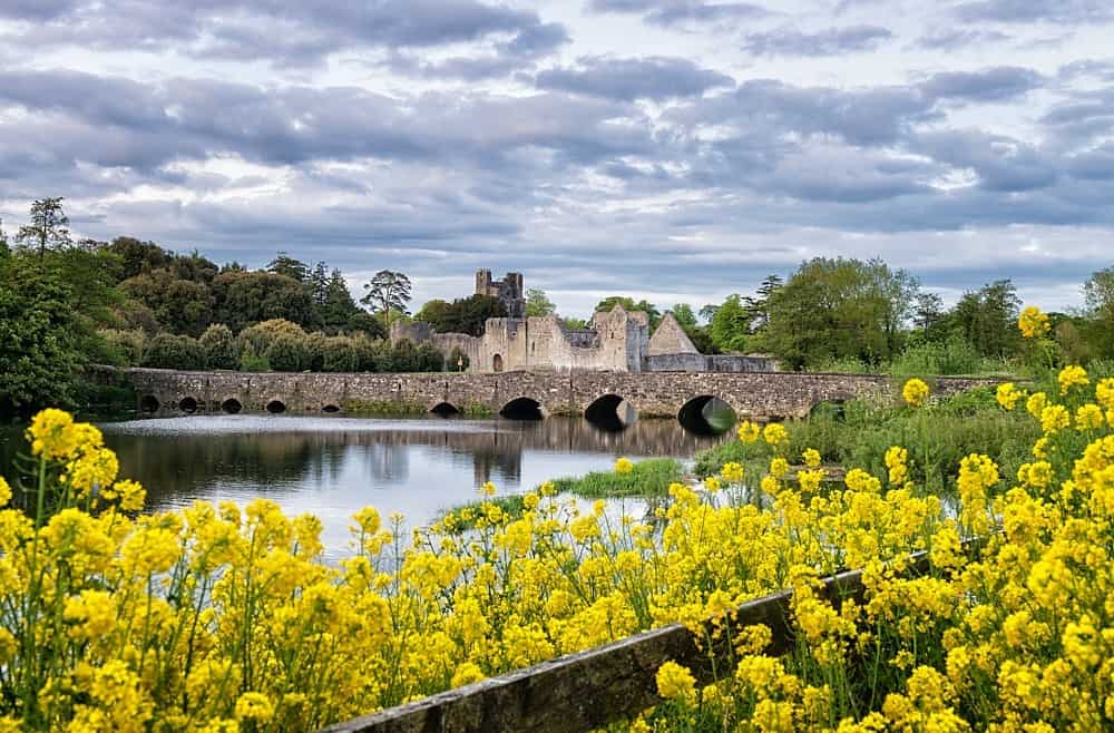 LisardArchaeological place · 846 yd
 post boxpost box · 1.1 mi
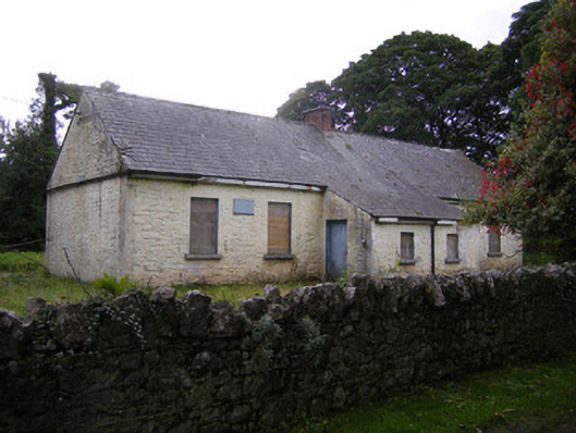 Nutgrove National Schoolschool · 1.2 mi
 Bawn in Lisnacullia (connello Lower By.)Bawn · 1.6 mi
 CastleCastle, unclassified · 1.9 mi
 St. Kieran's WellSpring · 2.5 mi
 TobernablahySpring · 2.7 mi
 Askeaton CastleHeritage attraction · 3.9 mi
 Holly IslandIslet · 4.7 mi
 European ashEuropean ash · 5.0 mi
 Foynes Flying Boat & Maritime MuseumMuseum · 5.8 mi