What is recorded here
Fairy fort in Coolnaknockane, County Limerick: a 20-metre earthen ring, partly levelled into pasture but still visible as a bank and shallow ditch, slopes toward a western stream. Cattle may have walked across it for generations while people forgot what the circle was for. The land keeps the shape even when memory leaves it.
In pasture sloping down towards stream to W. Monument, depicted as circular enclosure on 1923 OS 6-inch map, has been levelled and incorporated into pasture field. However, it is still perceptible as circular area (diam. 20m) enclosed by earthen bank (int. H 0.15m; ext. H 0.25m) with external fosse (D 0.2m; Wth 1.6m).
Compiled by: Denis Power
Date of upload: 26 August 2011
The monument record does not grant public access. Check the route and ask the landowner before entering private land.
- What survives
- Recorded monument
Places near here
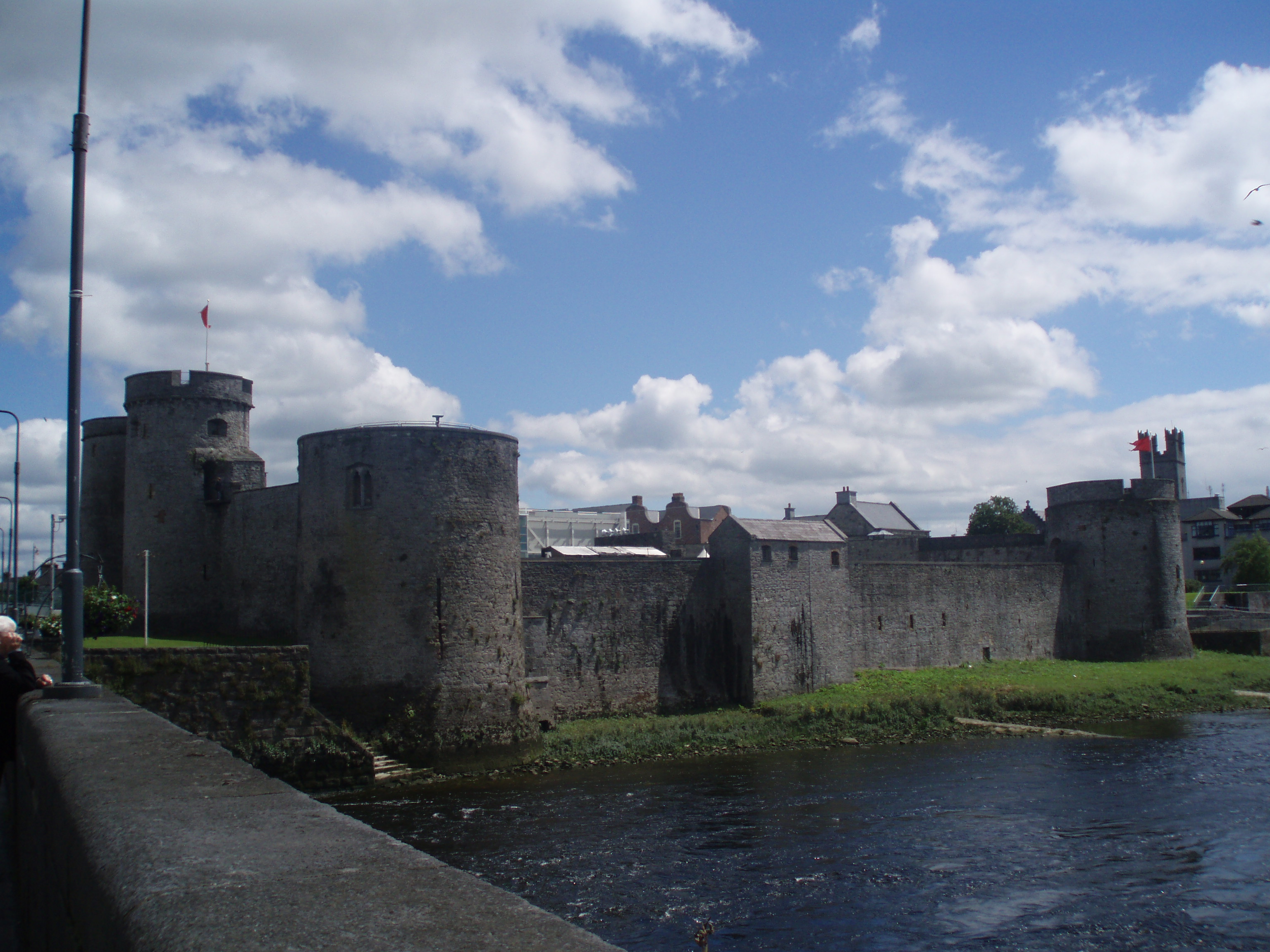 Cloncrew Fort - HachuredFairy fort / earthen ringfort · 585 yd
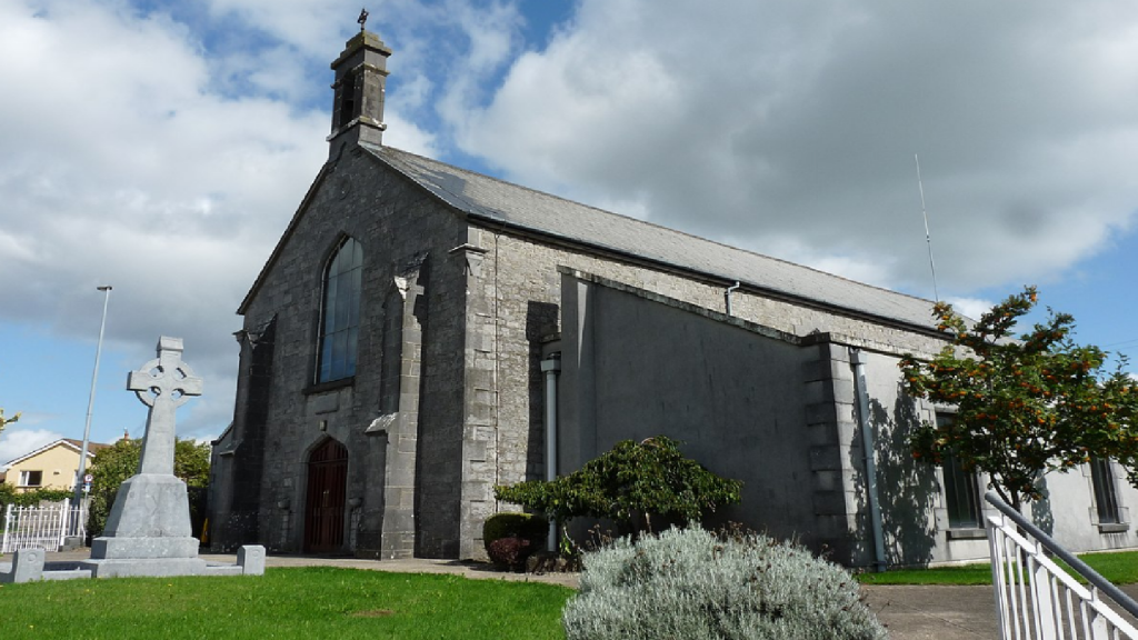 Cloncrew Church (in ruins)Church · 605 yd
 Enclosure in Gardenfield EastEnclosure · 849 yd
 ToberacappeenSpring · 1394 yd
 CastleCastle, unclassified · 1442 yd
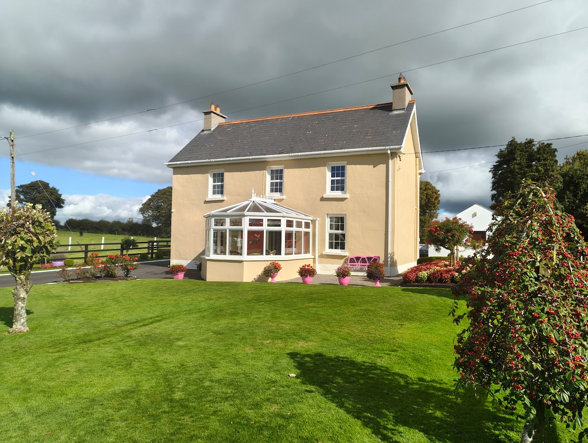
 Highmount Housefarm house, house · 1.1 mi
 National Co-op MuseumMuseum · 1.7 mi
 Castle (in Ruins)Castle, Anglo-Norman masonry castle · 2.1 mi
 ToberhoranSpring · 2.6 mi
 Battle of LiscarrollMajor battlefield · 7.6 mi
 Mullaghareirk - Banane LoopWalking route · 7.9 mi
 Ballagh MountainMountain / peak · 8.4 mi