What is recorded here
Coolmain held a forty-metre earthen ring overlooking two bays, but human hands or ploughs have since erased its visible edge. The land keeps the shape only in memory and old survey lines, denying the eye a boundary it once commanded. What was built to exclude or protect has returned to the grass, leaving behind a vacant circle where certainty used to stand.
In pasture, overlooking Coolmain Bay to E and Courtmacsherry Bay to S. Shown as hachured circular enclosure on OS 6-inch map (1842) (diam. c. 40m). Levelled; no visible surface trace.
The above description is derived from the published 'Archaeological Inventory of County Cork. Volume 1: West Cork' (Dublin: Stationery Office, 1992). In certain instances the entries have been revised and updated in the light of recent research.
Date of upload/revision: 14 January 2009
The monument record does not grant public access. Check the route and ask the landowner before entering private land.
- What survives
- Recorded monument
Places near here
 Castle (in Ruins)Castle, tower house · 391 yd
 Scott's StrandBeach / strand · 841 yd
 Coolmain Castlecastle/fortified house · 937 yd
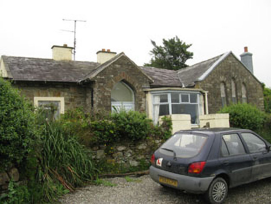 church/chapelchurch/chapel · 1267 yd
 Howe's StrandBeach / strand · 1383 yd
 Man-made underground passage in CourtmacsherryMan-made underground passage · 1.2 mi
 Enclosure in Rochestown (carbery East (e.d) By.)Enclosure · 1.5 mi
 Courtmacsherry LoopWalking route · 1.6 mi
 Chilean myrtleChilean myrtle · 1.7 mi
 Cork oakCork oak · 1.8 mi
 CourtCastle, unclassified · 1.8 mi
 Hackstown Raised Beach GeologyNamed rock · 1.9 mi