
What is recorded here
Circular ditched enclosure visible as crop mark in barley field (pers. comm. Dr. D. C. Pochin Mould, 1989).
The above description is derived from the published 'Archaeological Inventory of County Cork. Volume 1: West Cork' (Dublin: Stationery Office, 1992). In certain instances the entries have been revised and updated in the light of recent research.
Date of upload/revision: 14 January 2009
The monument record does not grant public access. Check the route and ask the landowner before entering private land.
- What survives
- Recorded monument
Places near here
 Glanavirane Housecountry house · 907 yd
 Hut site in HacketstownHut site · 925 yd
 Hackstown Raised Beach GeologyNamed rock · 970 yd
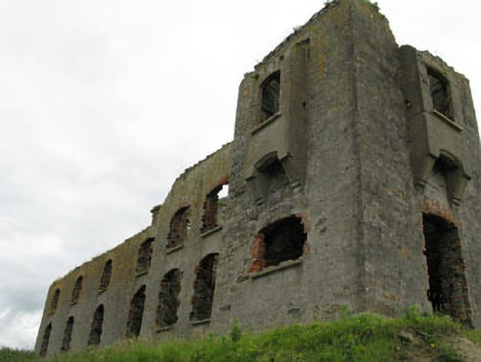 coastguard stationcoastguard station · 1242 yd
 Fulacht fia in HacketstownFulacht fia · 1369 yd
 Howe's StrandBeach / strand · 1371 yd
 Garrettstown ForestWood · 1450 yd
 New WoodWood · 1.1 mi
 Castle (in Ruins)Castle, tower house · 1.5 mi
 Scott's StrandBeach / strand · 1.8 mi
 The Moving StatueHeritage attraction · 2.6 mi
 Barry's PointHeadland · 3.2 mi
Other information
Photo: Credit not shown in the picture search · Rights wording not checked; contact us if this picture should be removed