What is recorded here
Fairy fort in Coolmain, County Cork: earthen bank one metre high, shallow external fosse, north-facing slope, now tillage. The field fence on the south and southwest still holds what the plough cannot take. People may have lived inside the ring before the name changed, or the ring may have refused to leave them. Either way the earth kept its shape while human tools and tongues turned over it.
In tillage, on N-facing slope. Earthen bank (H 1m) preserved in field fence S->SW, with shallow external fosse.
The above description is derived from the published 'Archaeological Inventory of County Cork. Volume 1: West Cork' (Dublin: Stationery Office, 1992). In certain instances the entries have been revised and updated in the light of recent research.
Date of upload/revision: 14 January 2009
The monument record does not grant public access. Check the route and ask the landowner before entering private land.
- What survives
- Recorded monument
Places near here
 Castle (in Ruins)Castle, tower house · 220 yd
 Scott's StrandBeach / strand · 729 yd
 Coolmain Castlecastle/fortified house · 784 yd
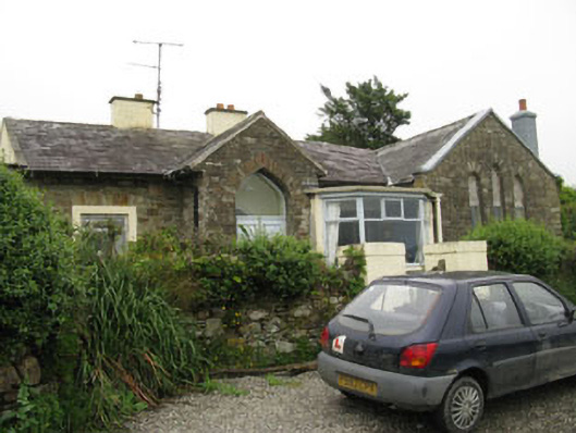 church/chapelchurch/chapel · 1136 yd
 Howe's StrandBeach / strand · 1396 yd
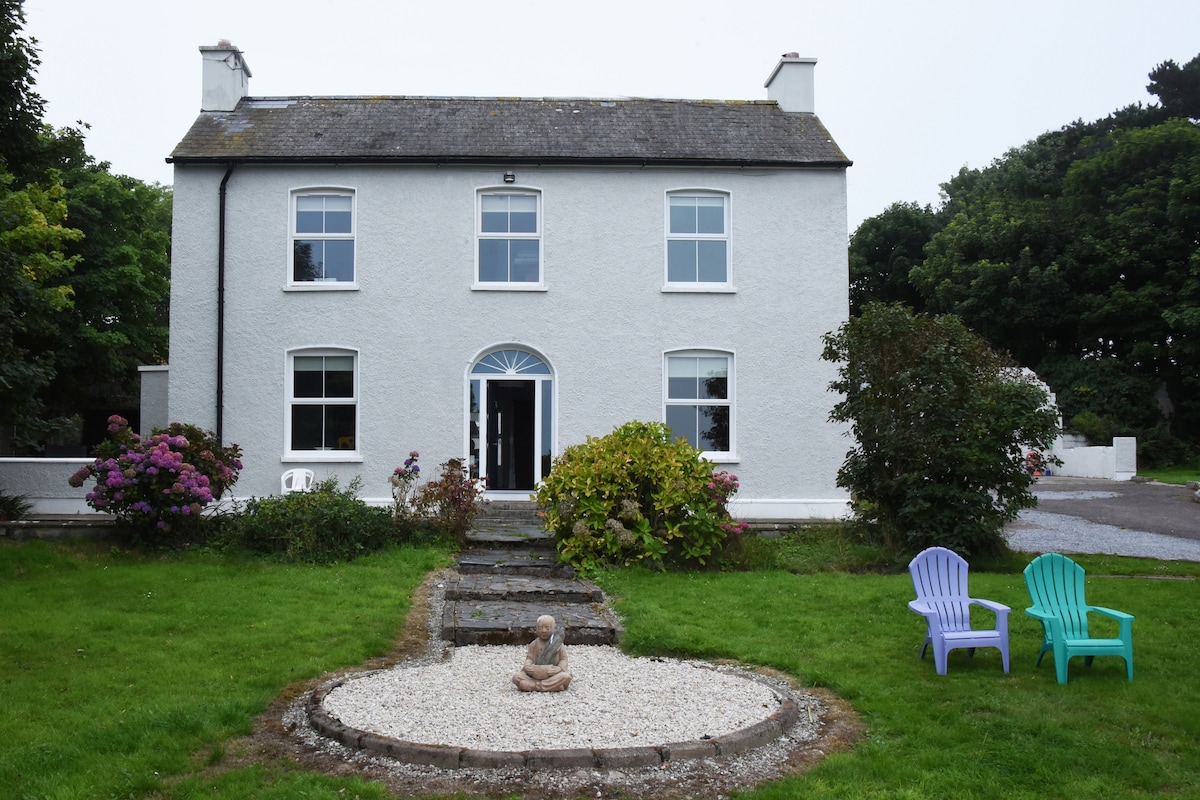 Man-made underground passage in CourtmacsherryMan-made underground passage · 1.3 mi
 Enclosure in Rochestown (carbery East (e.d) By.)Enclosure · 1.5 mi
 Courtmacsherry LoopWalking route · 1.6 mi
 Chilean myrtleChilean myrtle · 1.8 mi
 Cork oakCork oak · 1.8 mi
 CourtCastle, unclassified · 1.8 mi
 Hackstown Raised Beach GeologyNamed rock · 1.9 mi