What is recorded here
Mischa appeared on the ridge road, breathing hard and gleaming with life. You asked what she saw. She pointed west, where the land fell away into distance. The camera record showed an empty road. Mischa did not hesitate. She witnessed something the machine missed.
Near the top of a short, gentle, W-facing pasture slope at the NW end of a low, narrow, NW-SE ridge, overlooking a broad expanse of bog c. 500m to the W. A large, but very poorly preserved circular area (diam c. 60m) is defined by a low scarp (H 0.4-1m) which is hedged as a roadside boundary NNE-E-SSE and which has been cut back and straightened-off along the S to allow the erection of farm sheds and outbuildings, and along the W, where a modern farm road runs. At NW, a later field bank, which is also hedged as a field boundary, may incorporate portion of an older, rath bank. The interior is completely overgrown with briar, thorn and ash.
Compiled by: Gearóid Conroy
Date of upload: 10 June 2011
The monument record does not grant public access. Check the route and ask the landowner before entering private land.
- What survives
- Recorded monument
Places near here
 Blackwood Castle (in ruins)Castle, tower house · 1.2 mi
 Mullhall's FortArchaeological place · 1.5 mi
 Enclosure in CoolcarriganEnclosure · 1.7 mi
 Ballynafagh Bog Special Area of ConservationNature reserve · 1.9 mi
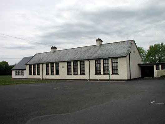 Saint Mary's Girls' National Schoolschool · 2.0 mi
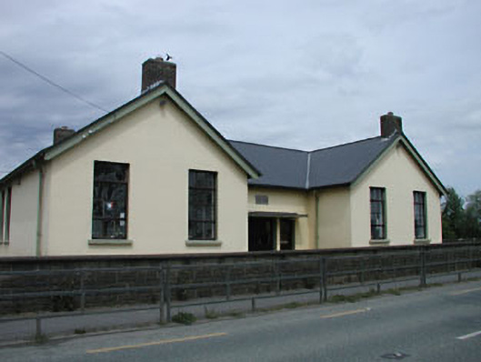 Saint Mary's National Schoolschool · 2.1 mi
 Grand Canal WayVisitor information · 2.4 mi
 The Kildare MazeHeritage attraction · 2.5 mi
 Bawn in Grangeclare WestBawn · 3.2 mi
 The Grill ShackHeritage attraction · 3.7 mi
 9/11 MemorialMemorial · 4.1 mi
 Horse-chestnutHorse-chestnut · 4.5 mi