What is recorded here
Fairy forts are not fairy forts. They are human ringforts, misnamed because people stopped remembering the humans who built them. Coolbeg is one of those: a subcircular rath on a ridge in County Galway, about forty metres north-south and thirty metres east-west, with two banks and a fosse between them. The outer bank has been removed in recent years, perhaps for pasture or road work, but the inner bank, scarp and ditch still mark the shape of a place where people once lived, defended themselves, and were forgotten.
On a ridge in pastureland. This subcircular rath (c. 40m N-S; c. 30m E-W), in fair condition, is defined by two banks and an intervening fosse. The inner bank is visible from N through E to SW; elsewhere a scarp forms the enclosing element. The fosse survives from SW through W to N and the outer bank from W to NNW. A gap at NE may be modern. According to local information, the outer bank was removed in recent years.
Compiled by: Galway Archaeological Survey, UCG
Date of upload: 1 December 2017
The monument record does not grant public access. Check the route and ask the landowner before entering private land.
- What survives
- Recorded monument
Places near here
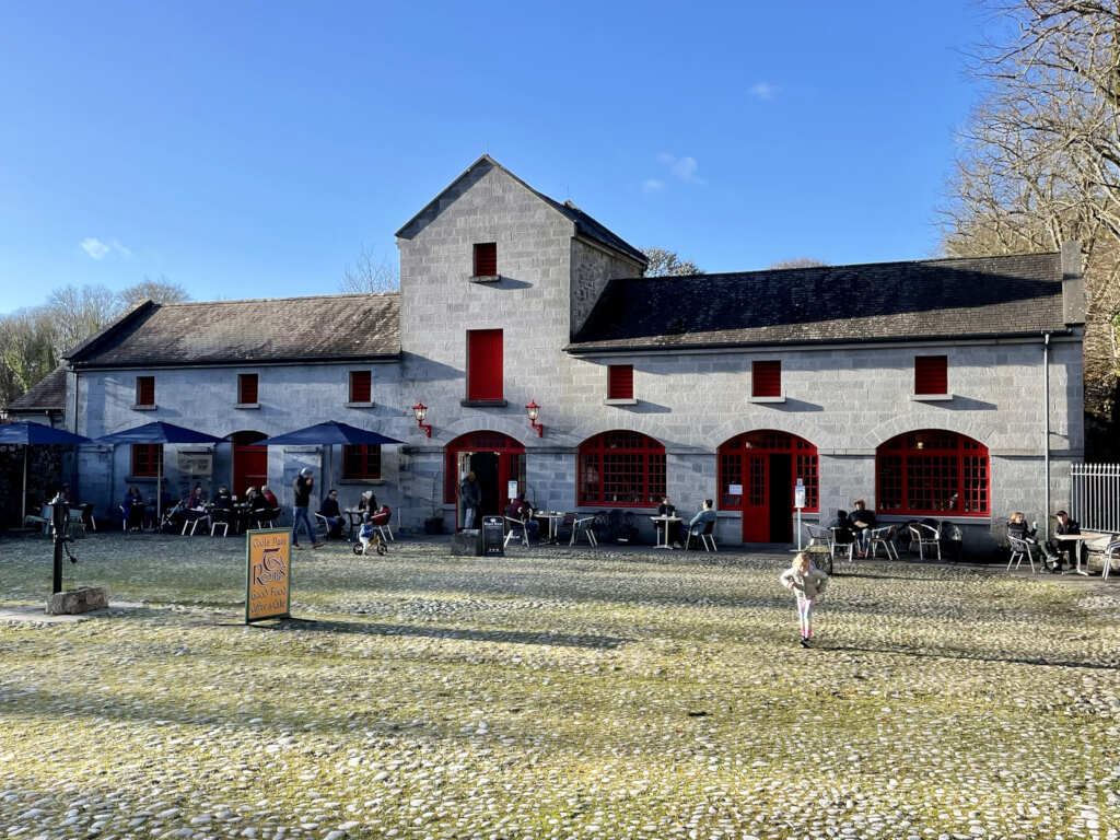 Caltraghgarraun FortFairy fort / earthen ringfort · 774 yd
 Rabbit BurrowFairy fort / earthen ringfort · 963 yd
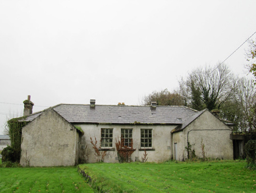 Clontuskert National Schoolschool · 1581 yd
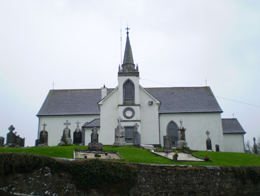 Saint Augustine's Catholic Churchchurch/chapel · 1.1 mi
 European BeechEuropean Beech · 1.1 mi
 European YewEuropean Yew · 1.3 mi
 Oghil Castle (in ruins)Castle, tower house · 1.9 mi
 Ballagh Castle (in Ruins)Castle, unclassified · 2.2 mi
 Ardcarn IslandsIslet · 3.2 mi
 Urraghry HillMountain / peak · 3.6 mi
 The bloody HollowHeritage attraction · 4.0 mi
 Redmond HillMountain / peak · 4.3 mi