What is recorded here
On N outskirts of Dromcolliher town, immediately W of town house garden, with pasture field adjoining elsewhere. Oval area (26.6m N-S; 21.5m E-W) defined by scarped edge (H 2.1m; Wth 1.8m); hedging runs along top edge of scarp. Scarp, best preserved SE->SW, lowers NE->SE (H 0.55m; Wth 4m). Interior, under rough pasture, has dip (Wth 1.8m) running across centre on rough E-W axis. Enclosure now used as a small paddock, accessed by two small wooden gates in hedge at NNW (Wth 2.5m) and SW (Wth 1.6m) respectively. ESB pole stands atop scarp at NNE.
Compiled by: Denis Power
Date of upload: 26 August 2011
The monument record does not grant public access. Check the route and ask the landowner before entering private land.
- What survives
- Recorded monument
Places near here
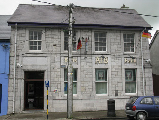 Allied Irish Bankbank/financial institution · 166 yd
 DromcolliherSettlement cluster · 191 yd
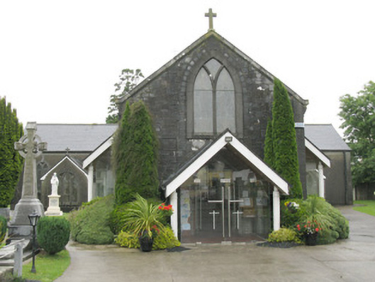 Saint Bartholomew's Catholic Churchchurch/chapel · 227 yd
 National Co-op MuseumMuseum · 387 yd
 Burnt mound in Gardenfield SouthBurnt mound · 1553 yd
 ToberacappeenSpring · 1.2 mi
 CastleCastle, unclassified · 1.2 mi
 Castle LisheenCastle · 1.8 mi
 ToberhoranSpring · 2.9 mi
 Mullaghareirk - Banane LoopWalking route · 6.2 mi
 Battle of LiscarrollMajor battlefield · 7.2 mi
 Ballagh MountainMountain / peak · 7.3 mi