What is recorded here
Situated on a fairly level landscape. The cropmark of a circular enclosure (diam. c. 30m) is visible on aerial photographs (MM (31) 19 21). It is also visible on aerial photographs (ASIAP (103) 6-10) taken in July 2000 and on the OSI series of aerial photographs (2000).
The above description is derived from the published 'Archaeological Inventory of County Wexford' (Dublin: Stationery Office, 1996). In certain instances the entries have been revised and updated in the light of recent research.
Compiled by: Michael Moore
Date of upload/revision: 17 June 2013
The monument record does not grant public access. Check the route and ask the landowner before entering private land.
- What survives
- Recorded monument
Places near here
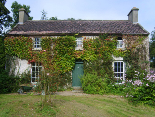 Fortagustahouse · 603 yd
 Common WhitebeamCommon Whitebeam · 823 yd
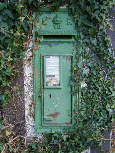 post boxpost box · 832 yd
 Arthurstown BeachBeach / strand · 1240 yd
 Kilhile Castle (in ruins)Castle, tower house · 1272 yd
 Ballyhack Castle (in ruins)Castle, tower house · 1.1 mi
 Enclosure in MersheenEnclosure · 1.1 mi
 Otter with a SalmonMemorial · 1.2 mi
 Enclosure in NookEnclosure · 1.3 mi
 Ivory MemorialMemorial · 1.6 mi
 Nook BayBay · 1.7 mi
 Catherine's BayBay · 1.8 mi