What is recorded here
In low-lying gently undulating wet pasture. A slightly raised circular area (33m E-W) defined by an earth and stone bank (Wth 4.25m; int. H 0.55m; ext. H 1.6m) W-NW and by a scarp NW-SE. Elsewhere the enclosing element has been entirely quarried away. An external fosse (D 0.55m; Wth 1.6m at base) survives W-N and is evident N-E as a dark band of grass. The interior is quarried away except for a band of between 7 and 9m inside the surviving bank and scarp. An E-W road lies c. 8m to S of the present limits of the rath. Indicated as a small embanked circular area (diam. c. 18m) on the 1838 OS 6-inch map; only the N half is indicated by arcs of hachures NW-NE on the 1941 OS 6-inch map.
The above description is derived from the published 'Archaeological Inventory of County Sligo' compiled by Ursula Egan, Elizabeth Byrne, Mary Sleeman with Sheila Ronan and Connie Murphy (Dublin Stationery Office, 2005).
Date of upload: 18 January 2008
The monument record does not grant public access. Check the route and ask the landowner before entering private land.
- What survives
- Recorded monument
Places near here
 Enclosure in Rathdoony BegEnclosure · 1051 yd
 Indicated (1838).Enclosure · 1169 yd
 RathdoonyCastle, motte · 1564 yd
 KilnKiln, lime · 1.2 mi
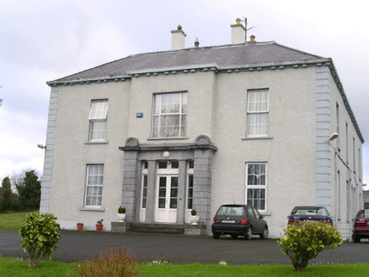 Earlsfieldhouse · 1.5 mi
 Brother WalfridMemorial · 1.7 mi
 Ballymote CastleCastle · 1.7 mi
 ElderElder · 1.9 mi
 European ashEuropean ash · 2.4 mi
 James MorrisonMemorial · 4.0 mi
 Tymon's HillMountain / peak · 4.8 mi
 Caves of KeshCave · 5.0 mi