What is recorded here
No visible entrance, no gate gap, no seam where inside meets outside. The fort has no door because it never agreed to be a building at all. It is a living shape that breathes through the grass and uses the field as its skin. What you see is only the part it chooses to show.
On a hummock in undulating grassland. Poorly preserved subcircular rath (max. dims. 60m N-S; 48.7m E-W) defined by two banks and an intervening fosse. The inner bank survives from SSW to WSW; elsewhere an irregular scarp forms the enclosing element. The fosse is extant from NNE through S to WNW, and from S to WSW it is overlain by a trackway. The outer bank is visible from WSW to WNW. Quarrying has encroached upon the monument at N. A barrow (GA098-078002-) lies
immediately the SSW.
Compiled by: Galway Archaeological Survey, UCG
Date of upload: 29 November 2017
The monument record does not grant public access. Check the route and ask the landowner before entering private land.
- What survives
- Recorded monument
Places near here
 Quarry in Ballydonnellan WestQuarry · 310 yd
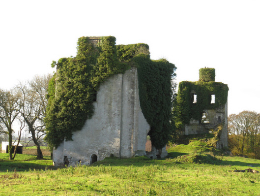 Ballydonnellan Castlecountry house · 846 yd
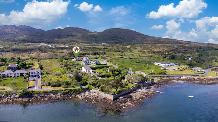 Enclosure in BallyhoganEnclosure · 1203 yd
 CaveMan-made underground passage · 1606 yd
 Dartfield Horse MuseumHeritage attraction · 2.7 mi
 Drought Castle (in Ruins)Castle, tower house · 2.9 mi
 Kilcooly Castle (in ruins)Castle, tower house · 3.7 mi
 Battle of AughrimMajor battlefield · 5.7 mi
 Battle of Aughrim Interpretative CentreMuseum · 5.8 mi
 The bloody HollowHeritage attraction · 5.9 mi
 Oak WoodWood · 6.0 mi
 Urraghry HillMountain / peak · 7.0 mi