What is recorded here
Situated towards the E edge of a broad N-S ridge. The cropmark of a bivallate enclosure (int. diam. c. 50m; ext. diam. c. 75m) is visible on aerial photographs (CUCAP, AVK 87, BDQ 101, BDO 71; GB89.AN34; ASIAP (101) 36 7; (103) 0 5). The outer fosse feature is slighter than the inner, and there is a large pit at the centre (MM (41) 16-19).
The above description is derived from the published 'Archaeological Inventory of County Wexford' (Dublin: Stationery Office, 1996). In certain instances the entries have been revised and updated in the light of recent research.
Compiled by: Michael Moore
Date of upload/revision: 17 June, 2013
A fairy fort or earthen ringfort in Clonsharragh is an early-medieval bivallate enclosure, likely dating to between the 5th and 10th centuries AD, used as a defensive or agricultural settlement. Local folklore associates such sites with the faerie folk, and they were often avoided due to their mystical reputation.
The monument record does not grant public access. Check the route and ask the landowner before entering private land.
- What survives
- Recorded monument
Places near here
 MillMill, unclassified · 367 yd
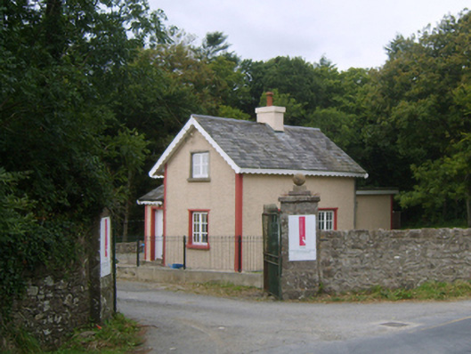 Dunbrody Housegates/railings/walls · 615 yd
 Common WhitebeamCommon Whitebeam · 801 yd
 Enclosure in MersheenEnclosure · 1232 yd
 Arthurstown BeachBeach / strand · 1.2 mi
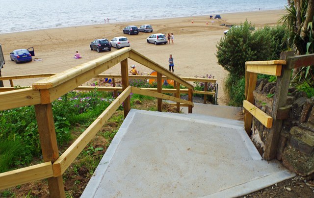 Duncannon BeachVisitor information · 1.3 mi
 DuncannonBeach / strand · 1.4 mi
 Kilhile Castle (in ruins)Castle, tower house · 1.6 mi
 Embanked enclosureFairy fort / ringfort · 1.7 mi
 Otter with a SalmonMemorial · 1.8 mi
 Ballyhack Castle (in ruins)Castle, tower house · 1.8 mi
 Ivory MemorialMemorial · 1.9 mi