
What is recorded here
According to the Civil Survey (1654-5) there was a mill at Kilbride that was owned by John Etchingham in 1640 (Simington 1953, 187, 193). A NE-SW stream forms the NW boundary of the townland with Ramsgrange and a ruined corn mill is marked on the stream in Ramsgrange on the 1839 ed. of the OS 6-inch map, but it cannot be certain that this is the location of the original mill.
Compiled by: Michael Moore
Date of upload: 17 June, 2013
The monument record does not grant public access. Check the route and ask the landowner before entering private land.
- What survives
- Recorded monument
Places near here
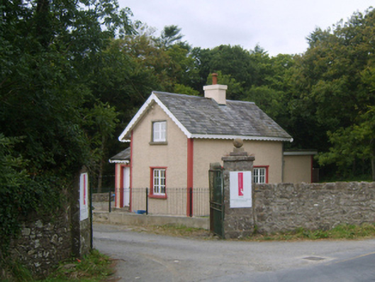 Dunbrody Housegates/railings/walls · 278 yd
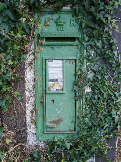 post boxpost box · 515 yd
 Common WhitebeamCommon Whitebeam · 524 yd
 Enclosure in MersheenEnclosure · 1018 yd
 Arthurstown BeachBeach / strand · 1676 yd
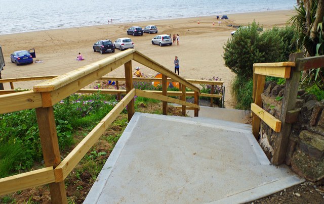 Duncannon BeachVisitor information · 1.3 mi
 DuncannonBeach / strand · 1.4 mi
 Kilhile Castle (in ruins)Castle, tower house · 1.4 mi
 Otter with a SalmonMemorial · 1.6 mi
 Ballyhack Castle (in ruins)Castle, tower house · 1.6 mi
 Tower (in ruins)Bastioned fort · 1.6 mi
 Ivory MemorialMemorial · 1.7 mi
Other information
Photo: Credit not shown in the picture search · Rights wording not checked; contact us if this picture should be removed