What is recorded here
Circular shaped enclosure depicted on the 1837 ed. OS 6-inch map and on all subsequent editions. Cropmark of levelled monument visible on Digital Globe aerial photograph taken November 2011.
Compiled by: Frank Coyne and Caimin O'Brien
Date of upload: 12 March 2018
The monument record does not grant public access. Check the route and ask the landowner before entering private land.
- What survives
- Recorded monument
Places near here
 Hut site in ClonkillHut site · 200 yd
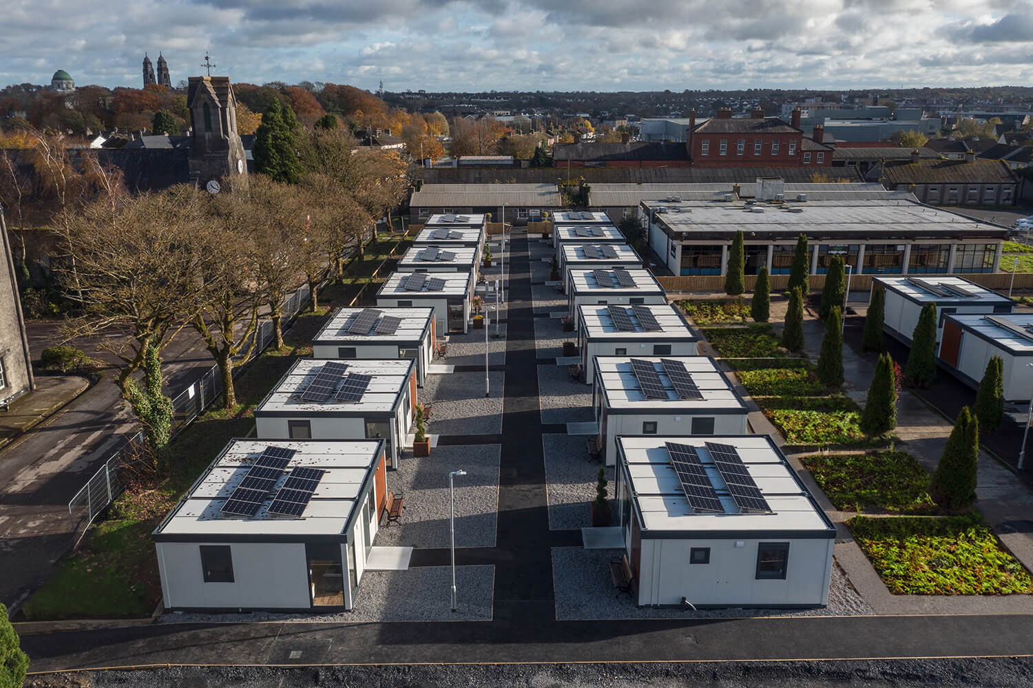 Concentric enclosure in Loughagar MoreConcentric enclosure · 384 yd
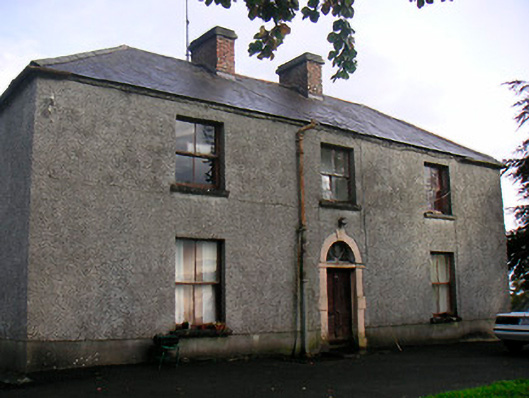 Newgrove Housefarm house · 862 yd
 Killynan Housefarmyard complex · 1.8 mi
 CastleCastle, motte · 1.9 mi
 Site of CastleCastle, unclassified · 2.3 mi
 Long PlantingForest · 2.8 mi
 Saint Brigid's WellSpring · 4.0 mi
 Scragh Bog Nature ReserveNature reserve · 4.1 mi
 United Nations War MemorialMemorial · 4.3 mi
 Church IslandIsland · 4.5 mi
 The Chimera GalleryGallery · 4.6 mi