What is recorded here
Situated on high ground in poorly drained pasture. The monument, depicted on the 1924 OS 6-inch map as a pair of conjoined circular enclosures (diam. c. 30m), has been levelled and there was no evident trace of it when inspected.
Compiled by: Denis Power
Date of upload: 27 March 2013
The monument record does not grant public access. Check the route and ask the landowner before entering private land.
- What survives
- Recorded monument
Places near here
 Dotted outlineFairy fort / stone ringfort · 1031 yd
 Knockanadausa FortArchaeological place · 1068 yd
 RoadRoad, road/trackway · 1618 yd
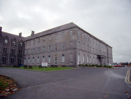 Mungret Collegecollege, stables · 1.2 mi
 Castle FieldCastle, unclassified · 1.3 mi
 Meelick Ho.House, fortified house · 3.0 mi
 Sailors HaggardMemorial · 4.0 mi
 Fountain SculptureHeritage attraction · 6.3 mi
 Visitor CentreVisitor information · 6.3 mi
 Campus MapVisitor information · 6.4 mi
 Grass IslandIslet · 6.4 mi
 Maiden RockNamed rock · 6.7 mi