What is recorded here
Clenor South once held two fairy forts, a small and large ring, but human hands have erased most of the small one. The 1842 map still shows a twenty-metre circle at the junction of three fields, yet a boundary now cuts through the site and only four metres of bank remain. The land has forgotten the shape of the fort, though the surveyor remembered it clearly enough to write it down.
In pasture, on S-facing slope. Depicted as hachured circular enclosure (diam. c. 20m) on 1842 OS 6-inch map, at junction of three fields. Levelled; site bisected by field boundary running NNW-SSE; short section of bank (L 4m; H 1.1m) survives to SE extending out from field boundary. According to Ordnance Survey Office, Dublin 'on south-west [of Clenor South townland, there is] a small and large [CO025-070---] fort but nothing else' (Grove White 1905-25, vol. 2, 190).
The above description is derived from the published 'Archaeological Inventory of County Cork. Volume 4: North Cork' (Dublin: Stationery Office, 2000). In certain instances the entries have been revised and updated in the light of recent research.
Date of upload/revision: 14 January 2009
The monument record does not grant public access. Check the route and ask the landowner before entering private land.
- What survives
- Recorded monument
Places near here
 IndicatedEnclosure · 213 yd
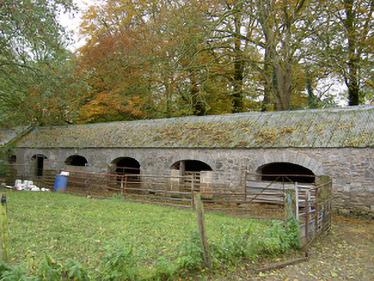 Annakisha Housefarmyard complex · 524 yd
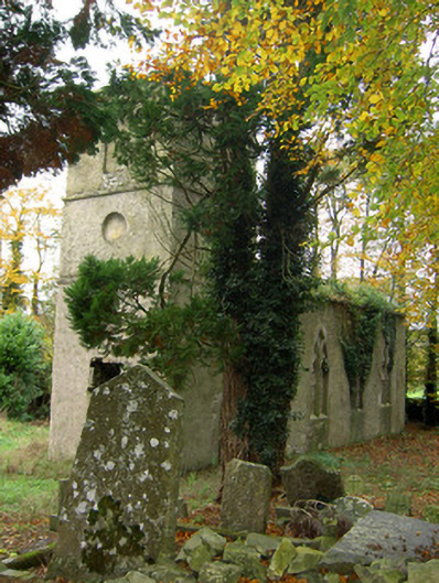 Clenor Cemeterychurch/chapel · 736 yd
 Tubber an eelingFairy fort / earthen ringfort · 1.0 mi
 Scots PineScots Pine · 1.8 mi
 Shanballymore Castle (Site of)Castle, unclassified · 4.2 mi
 Anne's Grove GardensHeritage attraction · 4.3 mi
 Mallow Castle RuinRuins · 4.6 mi
 In loving memory of Elvis O'DonoghueMemorial · 5.2 mi
 Mallow River TrailVisitor information · 5.2 mi
 Blackwater WayWalking route · 5.7 mi
 Horse Field WoodForest · 6.0 mi