What is recorded here
Fairy fort in Clashanure: two earthen rings conjoined on a golf-course slope, the northern ring 32 metres across with a 3.5 metre outer bank and drowned fosse. People built or shaped that much earth for a reason, perhaps a home, perhaps a marker, perhaps a warning about who owned the valley before courses and counters. The southern ring is gone or hidden, leaving the northern one like a sentence missing its second clause.
On grounds of Lee Valley golf course, on SW-facing slope. Most northerly of two conjoined ringforts (CO072-112001-). Circular raised area (32m N-S; 30m E-W) enclosed by earthen bank (int. H 0.5m; ext. H 3.5m) WSW->NE with external fosse; slight scarp NE->S; to SW separated from interior of conjoined site (CO072-112001-) by low rise. Outer bank (H 1.4m) survives WSW->NNW. Fosse heavily overgrown and used as dump for stones NNW->NE. Interior slopes down to SE; planted with coniferous trees.
The above description is derived from the published 'Archaeological Inventory of County Cork. Volume 3: Mid Cork' (Dublin: Stationery Office, 1997). In certain instances the entries have been revised and updated in the light of recent research.
Date of upload/revision: 14 January 2009
The monument record does not grant public access. Check the route and ask the landowner before entering private land.
- What survives
- Recorded monument
Places near here
 Fulacht fia in ClashanureFulacht fia · 481 yd
 Church (Remains of)Ecclesiastical enclosure · 552 yd
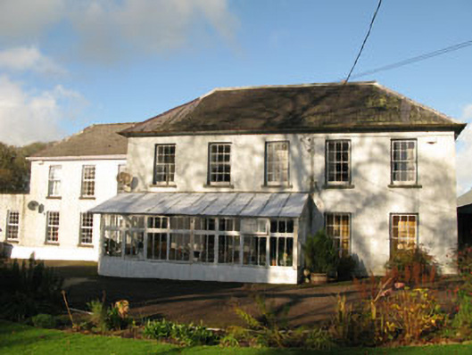 Clashanure Housecountry house · 559 yd
 Valley View Househouse · 1231 yd
 Bob AdamsMemorial · 1.2 mi
 Castle Inch (in Ruins)Castle, tower house · 1.3 mi
 Iniscarra Dam ViewViewpoint · 1.6 mi
 Kilcrea CastleWood · 1.9 mi
 Kilcrea Castle (in Ruins)Castle, tower house · 1.9 mi
 Coachford Greenway (End)Visitor information · 1.9 mi
 Farran WoodWood · 2.1 mi
 Graveyard in Carrigane (muskerry East By.)Graveyard · 2.4 mi