What is recorded here
Fairy fort in Churchtown, County Limerick: a 27-metre earthen ring with two banks and a narrow ditch, half-hidden in pasture. The outer bank still stands from south-south-east to east, while the inner bank drops to a shallow ridge and opens at the south-east. A farm track passes five metres outside, and cattle graze the flat middle as if the fort were only a slight change in the ground. People may have lived inside, or the land may have kept the shape for reasons it no longer explains.
In level pasture. Circular area (26.9m N-S; 26.4m E-W) enclosed by two concentric earthen banks, with intermediate fosse (Wth 2.3m) SSE->E. Internal bank (int. H 0.55m; ext. H 2m) has gap (Wth 2m) at SE. External bank (int. H 2m; ext. H 1.7m) survives SSE->E. Field boundary encircles enclosure, 1m from base of external bank, NNE->NNW. Farm trackway runs 5m outside base of external bank NNW->NNE. Interior level and under rough grazing.
Compiled by: Denis Power
Date of upload: 26 August 2011
See attached ASI aerial photographs ASIAP – taken on 04/03/2006.
The monument record does not grant public access. Check the route and ask the landowner before entering private land.
- What survives
- Recorded monument
Places near here
 Churchtown Housecountry house · 323 yd
 bridgebridge · 994 yd
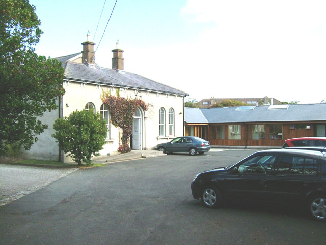 Enclosure in ChurchtownEnclosure · 1110 yd
 Holy well in KilrodaneHoly well · 1445 yd
 Templars Castle (in ruins)Castle, Anglo-Norman masonry castle · 1.4 mi
 CahermoyleCastle, unclassified · 2.8 mi
 St. Luke's WellSpring · 3.0 mi
 Limerick GreenwayWalking route · 3.2 mi
 St. Kieran's WellSpring · 4.0 mi
 Sugar HillMountain / peak · 4.7 mi
 European ashEuropean ash · 4.8 mi
 Ballagh MountainMountain / peak · 7.2 mi