What is recorded here
Fairy fort in Chapelpark, County Galway: a subcircular earthen ringfort, 28.5m NW-SE and 23.5m NE-SW, on a low grassland hummock. Its bank may have worn stone facing, and a 2.5m SE gap may be the true entrance. North to northeast, faint traces suggest a fosse and outer bank, now partly hidden beneath a field bank. People may have lived inside, tended animals, or marked boundary and belonging; the name Fairy fort also invites wonder, as if the ring still belonged to unseen neighbours.
On a low hummock in grassland. Subcircular ringfort (NW-SE 28.5m, NE-SW 23.5m), in fair condition, defined by a bank which may have been faced with stone. A gap (Wth 2.5m) at SE could be original. From N to NE there are tentative traces of an intervening fosse and outer bank; the latter is overlain by a field bank.
The above description is derived from the published 'Archaeological Inventory of County Galway Vol. II - North Galway'. Compiled by Olive Alcock, Kathy de hÓra and Paul Gosling (Dublin: Stationery Office, 1999).
Date of upload: 05 August 2010
The monument record does not grant public access. Check the route and ask the landowner before entering private land.
- What survives
- Recorded monument
Places near here
 Rabbit BurrowFairy fort / earthen ringfort · 267 yd
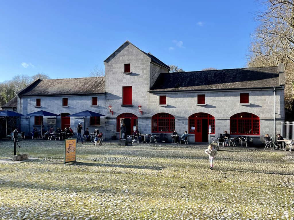 Caltraghgarraun FortFairy fort / earthen ringfort · 344 yd
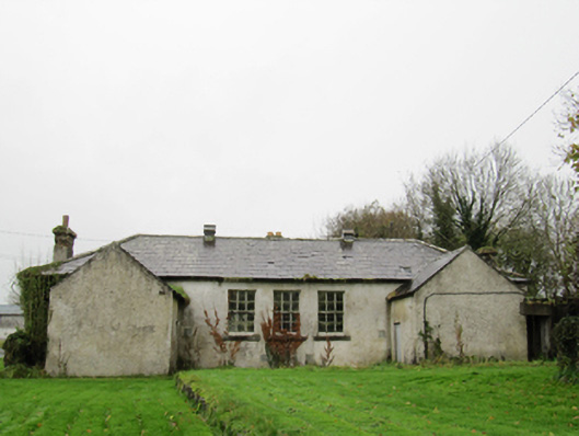 Clontuskert National Schoolschool · 705 yd
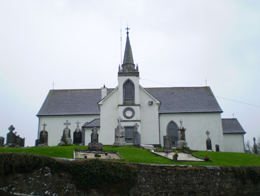 Saint Augustine's Catholic Churchchurch/chapel · 1030 yd
 European BeechEuropean Beech · 1.5 mi
 European YewEuropean Yew · 1.7 mi
 Ballagh Castle (in Ruins)Castle, unclassified · 1.8 mi
 Oghil Castle (in ruins)Castle, tower house · 2.4 mi
 Ardcarn IslandsIslet · 2.8 mi
 Urraghry HillMountain / peak · 3.0 mi
 The bloody HollowHeritage attraction · 3.5 mi
 Battle of AughrimMajor battlefield · 3.8 mi