What is recorded here
Castlefarm holds a broad earthen ring where a narrow causeway still bridges the flooded ditch. The fort measures forty-one metres across, presenting a solid north-west gap that invites entry into the lowland dark. People may have built the bank to keep rain, thieves or grief at a distance, yet the earth has forgotten every name and purpose.
Ringfort described in 1942-3 as following; 'This consists of a platform around the edge of which are traces of a bank. Surrounding it is a fosse. The entrance is on the north-west side and consists of a gap 10' [3m] wide in the bank with a causeway immediately outside leading across the fosse. The maximum height of the bank over the fosse-bottom is 5' [1.5m] and the overall diameter is 136' [41m]. Situated in poor low-land' (O'Kelly 1942-3, 237). Outline of monument clearly visible today on Digital Globe aerial photographs.
Compiled by: Caimin O'Brien
Date of upload: 4 March 2020
See attached ASI aerial photograph ASIAP – 352/5 taken on 05/01/2003.
The monument record does not grant public access. Check the route and ask the landowner before entering private land.
- What survives
- Recorded monument
Places near here
 BarrowBarrow, unclassified · 473 yd
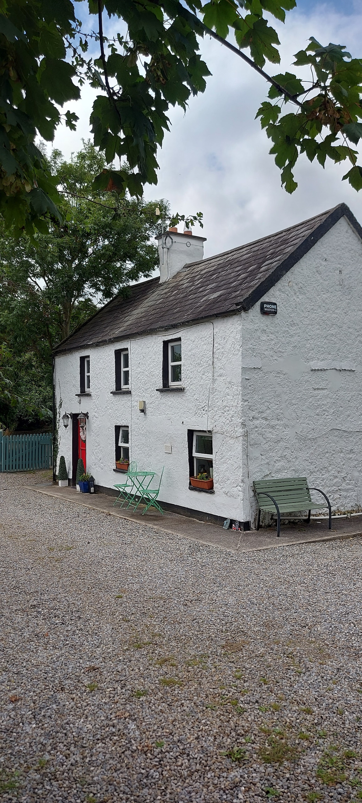 Enclosure in CastlefarmEnclosure · 519 yd
 Ahnageeragh Bridgebridge · 926 yd
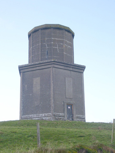 water towerwater tower · 978 yd
 CastleCastle, motte · 1.2 mi
 Flat cemetery in Knockainy WestFlat cemetery · 1.7 mi
 CashlanCastle, unclassified · 1.7 mi
 Kilteely HillMountain / peak · 2.6 mi
 St. Patrick's WellSpring · 3.1 mi
 St Patrick's WellSpring · 3.8 mi
 Ballinvreena LoopVisitor information · 6.4 mi
 SlievereaghMountain / peak · 7.2 mi