What is recorded here
The largest rath in Castledaly holds a west-facing slope where two earth banks and two ditches still trace a subcircular chamber forty-two metres across. cattle may have crowded inside while people watched the road or kept tools above the lower ditch, yet the outer earth has partly surrendered to a later field bank and hidden vegetation. What is certain is scale: a substantial defended or occupied place, not a fairy toy, remains buried beneath ordinary pasture.
On W-facing slope of a hillock in pastureland. Subcircular rath (42m N-S; 37m E-W), in fair condition, defined by two banks and two fosses. The inner bank and inner fosse are visible all round. The outer bank survives from SE through S to NW and is overlain by a later field bank at S. The outer fosse survives from SE through S to SW; elsewhere a darker band of vegetation indicates its outline.
Compiled by: Galway Archaeological Survey, UCG
Date of upload: 24 November 2017
The monument record does not grant public access. Check the route and ask the landowner before entering private land.
- What survives
- Recorded monument
Places near here
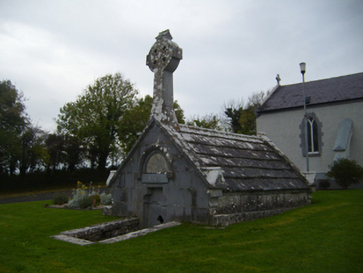 Saint Teresa's Catholic Churchmausoleum · 183 yd
 Church (in ruins)Church · 478 yd
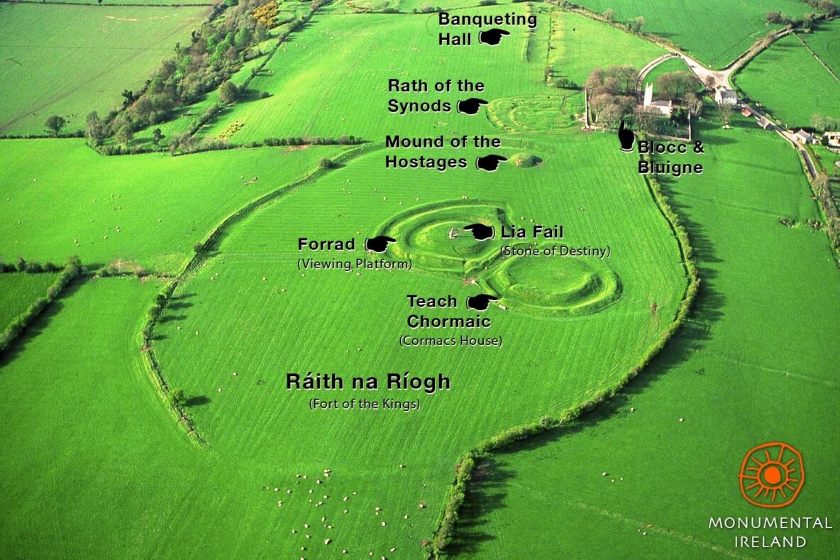 Inauguration site in Grannagh (loughrea By.)Inauguration site · 955 yd
 Enclosure in Bullaunagh (kiltartan By.)Enclosure · 1211 yd
 Castle (in ruins)Castle, Anglo-Norman masonry castle · 1339 yd
 Bawn in Cloghaun (loughrea By.)Bawn · 1.4 mi
 KnockapollboyMountain / peak · 3.6 mi
 European ashEuropean ash · 3.8 mi
 HawthornHawthorn · 3.8 mi
 Scalpeen RockNamed rock · 4.2 mi
 KnocknarebanaMountain / peak · 5.4 mi
 Derrybrien Bog SlideHeritage attraction · 6.0 mi