What is recorded here
Carrowroe held a large oval fort on an east-facing slope before ploughs erased its walls. The earth swallowed the stones and border, leaving only a faint rise beneath the grass. Humans may have lived there, feared the dark, or simply forgot the name. The land keeps what it wants and removes the rest.
On an E-facing slope in undulating pastureland. Marked on the OS 6-inch maps as an oval enclosure (c. 55m E-W; c. 45m N-S). The monument has been levelled and apart from a slight rise in the field level and slight traces of a possible fosse, no visible surface trace survives.
Compiled by: Galway Archaeological Survey, UCG
Date of upload: 19 February 2019
The monument record does not grant public access. Check the route and ask the landowner before entering private land.
- What survives
- Recorded monument
Places near here
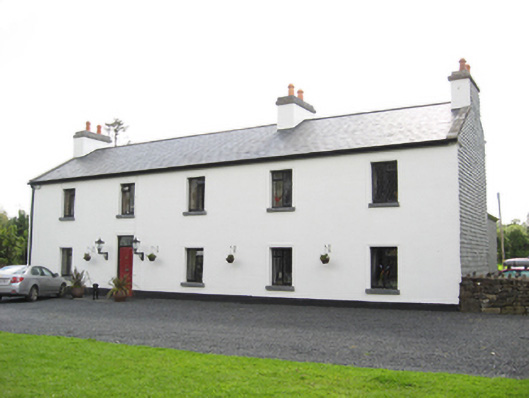 Cartron HouseRIC barracks · 498 yd
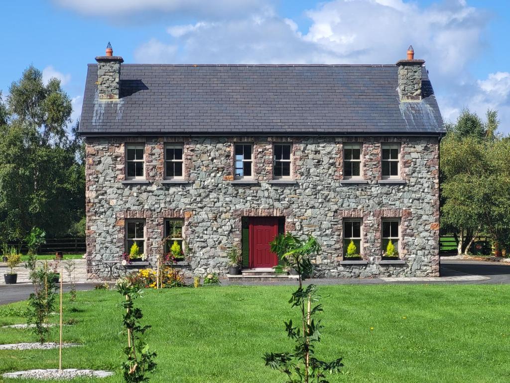 Country house in Carrowroe (marblehill Ed)Country house · 593 yd
 CaveMan-made underground passage · 746 yd
 IndicatedEnclosure · 1263 yd
 Site of CastleCastle, unclassified · 3.6 mi
 Coolfin Castle (in ruins)Castle, tower house · 3.6 mi
 Oak WoodForest · 4.8 mi
 Bog WoodForest · 4.9 mi
 TullymoreMountain / peak · 5.6 mi
 Friar's IslandIslet · 7.1 mi
 Abbey IslandIslet · 7.1 mi
 Stonyisland BayBay · 7.3 mi