What is recorded here
Marianne and I walked to the hidden ring at Carrowreagh, where a low earthen bank still marks the edge of a small human world. We sat inside the circle as dawn lightened the sky, listening to wind move through the trees and imagining the people who shaped that place long before maps existed.
A circular area (diam. c. 24.5m) defined by a low bank (Wth c. 2m, int. H c. 0.2m, ext. H c. 1.4m) and external fosse (Wth c. 5m). Possible entrance at E.
The above description is derived from the published 'Archaeological Inventory of County Laois' (Dublin Stationery Office, 1995) compiled by P. David Sweetman, Olive Alcock and Bernie Moran. In certain instances the entries have been revised and updated in the light of recent research.
Date of upload: 17 December 2007
The monument record does not grant public access. Check the route and ask the landowner before entering private land.
- What survives
- Recorded monument
Places near here
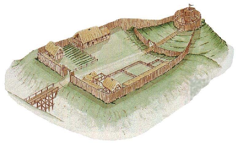 CastleCastle, motte and bailey · 1408 yd
 IndicatedBawn · 1534 yd
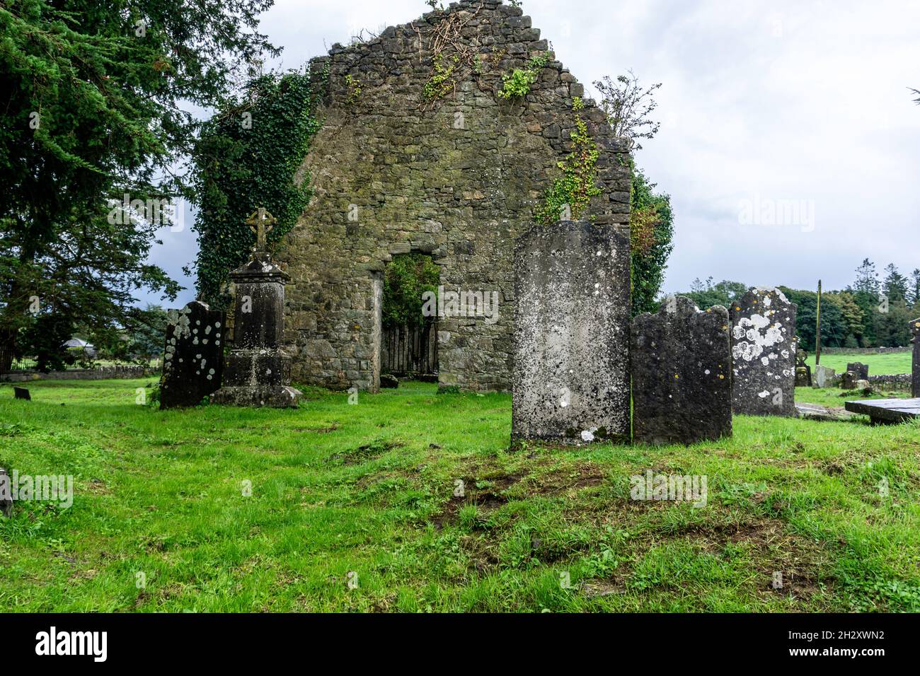 Ecclesiastical enclosure in SrahanboyEcclesiastical enclosure · 1.1 mi
 Enclosure in GarranbaunEnclosure · 1.4 mi
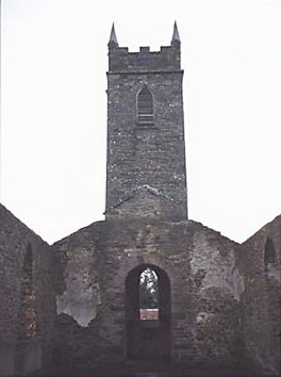 Saint Kevin's Catholic Churchchurch/chapel · 2.1 mi
 ArderinMountain / peak · 2.1 mi
 FarbreagueMountain / peak · 2.4 mi
 Abbey (in Ruins)Church · 3.4 mi
 Saint Kieran's WellSpring · 4.7 mi
 Kinnitty ForestForest · 5.1 mi
 Sitka SpruceSitka Spruce · 5.6 mi
 Saint Dominick's WellSpring · 5.8 mi