What is recorded here
Visible as a faint but distinct circular vegetation parch mark (diam. c. 30m) on aerial photographs (GSIAP: M 593-2), and situated on a gentle E-facing slope. It is not visible at ground level in pasture.
Compiled by: Michael Moore
Date of upload: 24 August 2010
The monument record does not grant public access. Check the route and ask the landowner before entering private land.
- What survives
- Recorded monument
Places near here
 Man-made underground passage in CarrowkeenyMan-made underground passage · 457 yd
 IndicatedChurch · 884 yd
 Sweat Ho.Sweathouse · 1.1 mi
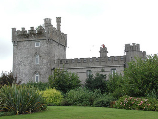 Moyvannan Castlecountry house · 1.4 mi
 Curraghboy CastleCastle, unclassified · 1.6 mi
 Carnagh BayBay · 2.7 mi
 Bally BayBay · 2.8 mi
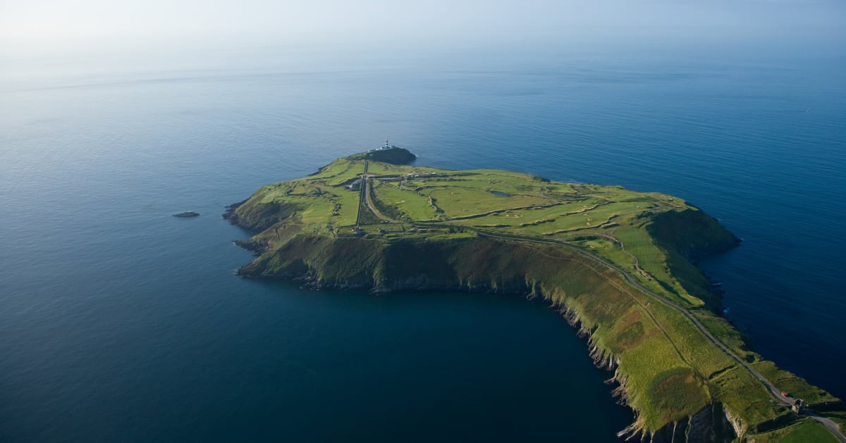 Sedgy IslandIslet · 2.8 mi
 Long IslandIslet · 2.8 mi
 CastlesampsonCastle, tower house · 3.6 mi
 Siege of Athlonesiege · 5.3 mi
 RindoonWood · 5.4 mi