What is recorded here
Fairy fort in Carrigthomas: a 32m earthen ring, 1.1m high, set in rough pasture 300m east of River Laney. The bank is small enough to walk in minutes, yet the circle still reads as a boundary, as if people shaped the land and the land kept the shape. Local names call it a fairy fort, which may mean only that it resisted ordinary explanation. A possible underground passage lies inside, hiding the fort from shallow sight and giving it a deeper room beneath the pasture.
In rough pasture, 300m E of River Laney. Circular area (diam. 32m) defined by earthen bank (H 1.1m). Possible Man-made underground passage (CO060-003002-) in interior.
The above description is derived from the published 'Archaeological Inventory of County Cork. Volume 3: Mid Cork' (Dublin: Stationery Office, 1997). In certain instances the entries have been revised and updated in the light of recent research.
Date of upload/revision: 14 January 2009
The monument record does not grant public access. Check the route and ask the landowner before entering private land.
- What survives
- Recorded monument
Places near here
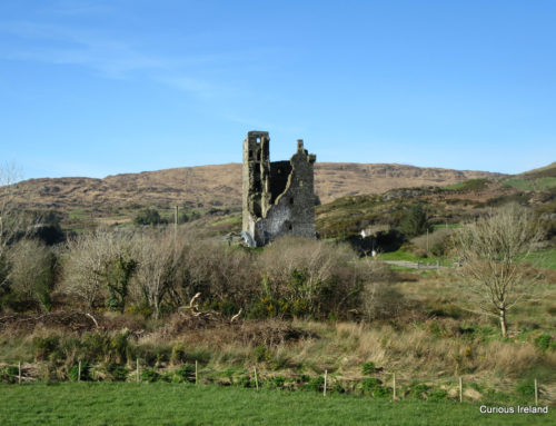 Man-made underground passage in CarrigthomasMan-made underground passage · 1 yd
 IndicatedEnclosure · 519 yd
 Clonavrick CliffCliff · 1493 yd
 post boxpost box · 1510 yd
 BurrenMountain / peak · 1.4 mi
 kilnkiln · 1.8 mi
 Neill's WoodWood · 2.9 mi
 Black WoodWood · 3.0 mi
 MusheramoreMountain / peak · 3.9 mi
 Macroom WalksVisitor information · 4.0 mi
 Battle of Macroombattle · 4.0 mi
 Macroom Castle (in Ruins)Castle, tower house · 4.0 mi