What is recorded here
On a rise in undulating grassland. This poorly preserved circular rath (diam. 28.5m) is defined by a bank from S through W to N; no visible surface trace survives elsewhere and a number of quarry pits have been dug into the line of the bank from N to NNE. There are traces of a berm immediately outside the bank from S to W and a shed and silage pit have been constructed at NE.
Compiled by: Galway Archaeological Survey, UCG
Date of upload: 19 February 2019
The monument record does not grant public access. Check the route and ask the landowner before entering private land.
- What survives
- Recorded monument
Places near here
 Man-made underground passage in Carra (loughrea By.)Man-made underground passage · 684 yd
 Field system in Carra (loughrea By.)Field system · 985 yd
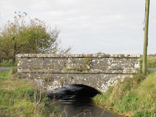 Carra Bridgebridge · 1.0 mi
 Quarry in Ballintober WestQuarry · 1.1 mi
 Dartfield Horse MuseumHeritage attraction · 2.6 mi
 Drought Castle (in Ruins)Castle, tower house · 2.6 mi
 Turoe StoneHeritage attraction · 3.3 mi
 Galboley Castle (in ruins)Castle, unclassified · 3.3 mi
 Woodlawn WoodsForest · 4.7 mi
 Large-leaved LimeLarge-leaved Lime · 4.7 mi
 Bush IslandIslet · 5.8 mi
 Middle IslandIslet · 5.8 mi