What is recorded here
Located on a slight rise towards the bottom of the steep W-facing slope of the Slieve na Calliagh ridge. This is a circular and slightly domed grass-covered area (diam. 36m NNW-SSE) defined by an earthen bank (at SSE: Wth of base c. 6m; int. H 0.3m; ext. H 2.2m) with some bushes that is largely reduced to a scarp (at NNW: Wth 2.8m; H 1.6m) with outer facing stones NNW-E-SE. There is no visible fosse but the original entrance is probably the ramp (Wth of base 2m) at NE. In the SW quadrant a sunken area (dims 12.5m NE-SW; 3.7m NW-SE; D 0.6m) that has some stones and also has a spur (L 4.6m) to the NW at its NE end may be the remains of a Man-made underground passage.
The above description is derived from the published 'Archaeological Inventory of County Meath' (Dublin: Stationery Office, 1987). In certain instances the entries have been revised and updated in the light of recent research.
Compiled by: Michael Moore
Date of revision: 8 January 2019
The monument record does not grant public access. Check the route and ask the landowner before entering private land.
- What survives
- Recorded monument
Places near here
 Cairn FArchaeological place · 734 yd
 C11Named rock · 769 yd
 Carnbane WestMountain / peak · 821 yd
 RathFairy fort / earthen ringfort · 828 yd
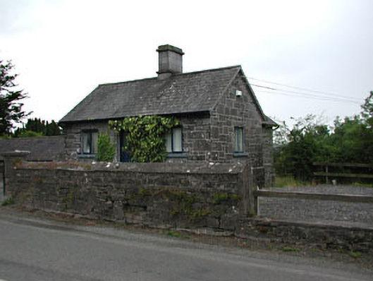 gate lodgegate lodge · 1031 yd
 indicatedChurch · 1081 yd
 CastleCastle, unclassified · 1096 yd
 LoughcrewMegalithic tomb cemetery · 1206 yd
 MoatCastle, motte · 1451 yd
 Common LimeCommon Lime · 1451 yd
 European YewEuropean Yew · 1473 yd
 Zip WireHeritage attraction · 1475 yd