What is recorded here
The largest of four neighbouring raths on the lower eastern slopes of Bentee mountain, it spans nearly fifty-five metres and still holds the ghost outlines of three huts. Its eastern entrance cuts through a shallow fosse and thick earthen bank, while cultivation ridges stretch across the interior like frozen plough marks. Local memory claims a drystone passage once ran east-west beside the southwestern hut, but that tunnel has vanished without a surface trace. The site overlookes the Carhan and Ferta valleys, waiting for someone to remember what was built there and why it was hidden again.
Internal diam. 54.25m N-S, 49.75m E-W
This and the following three raths are located in close proximity to one another on the lower E slopes of Bentee mountain, overlooking the Carhan and Ferta river valleys. This large subcircular univallate site features an external fosse and, internally, traces of three huts. It also reputedly contains a drystone-built Man-made underground passage. The fosse averages 1.1m deep below external ground level and measures 3.5m in basal width. It is quite shallow in the NE sector. The earthen, almost vertical-sided bank has a maximum basal width of 4.2m at E and it falls 1.75m on average to the gently sloping interior. A causeway across the fosse leads to a 2.75m wide entrance gap in the enclosing bank at E; a corresponding gap occurs at W, but this appears to be of recent origin.
A series of E-W cultivation ridges occupies the gently sloping interior of the rath and appear to avoid the huts. The first (KE079-051001-) of these huts is roughly circular in plan, measuring 4.25m x 3.9m internally, and occurs in the SW quadrant. Its sod-covered stone walls survive up to .3m high internally and feature an entrance gap at N. Henry records two further circular huts within the enclosure (1957, 74), which may be identified with the two overgrown circular mounds in the in the NW (KE079-051003-) and NE (KE079-051004-) quadrants. These measure 6m and 8m in diameter respectively. Donaldson recorded that the stone foundations of these huts were quarried away in the early 1920s, during the construction of the nearby waterworks (1956).
A stone-built Man-made underground passage passage (KE079-051002-) was accessible within living memory, through an opening adjacent to the first hut. It was aligned E-W, its side-walls were formed by a basal row of orthostats overlain by drystone masonry, and it was roofed with stone lintels (local information). No surface trace of the Man-made underground passage is now apparent.
The above description is derived from A. O'Sullivan and J. Sheehan (compilers), 'The Iveragh peninsula: an archaeological survey of South Kerry'. Cork University Press (1996), no. 478. In certain instances the entries have been revised and updated in the light of recent research.
Date of upload: 28 July 2013
The monument record does not grant public access. Check the route and ask the landowner before entering private land.
- What survives
- Recorded monument
Places near here
 Hut site in Carhan UpperHut site · 21 yd
 CaveMan-made underground passage · 254 yd
 BenteeMountain / peak · 847 yd
 Laharn Bog LoopWalking route · 1324 yd
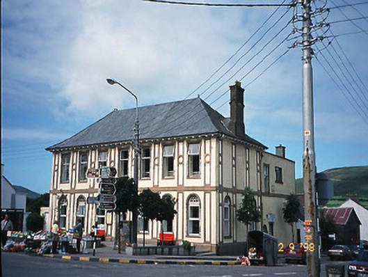 library/archivelibrary/archive · 1460 yd
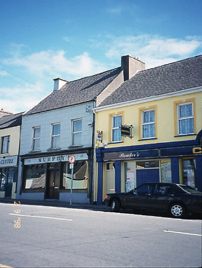 Murphy'shouse · 1467 yd
 CastleCastle, unclassified · 1.0 mi
 Mc Crehins Castle (Site of)Castle, unclassified · 1.1 mi
 Foughil IslandIslet · 1.8 mi
 Ballycarbery CastleRuins · 2.2 mi
 White Strand BeachBeach / strand · 2.8 mi
 FoilcloghMountain / peak · 3.0 mi