What is recorded here
Situated on a S-facing slope in rolling pastureland. A stream runs NW-SE c. 50m S of the site. Indicated as a circular enclosure outlined by two concentric rings on the 1st ed. (1840) OS 6-inch map but not shown on the current (1901-05) ed. The site has been levelled but is still visible as a roughly circular area (diam. 30m N-S; c. 37m E-W) defined by a low, much flattened bank (Wth c. 4.8m; ext. H 0.34m). A dip in bank in the S quadrant may indicate the location of a former entrance.
The above description is derived from 'The Archaeological Inventory of County Tipperary. Vol. 1 - North Tipperary' compiled by Jean Farrelly and Caimin O'Brien (Dublin: Stationery Office, 2002). In certain instances the entries have been revised and updated in the light of recent research.
Date of upload/revision: 22 September 2008
The monument record does not grant public access. Check the route and ask the landowner before entering private land.
- What survives
- Recorded monument
Places near here
 Enclosure in CamlinEnclosure · 265 yd
 Fulacht fia in CamlinFulacht fia · 371 yd
 Kiln in CamlinKiln · 434 yd
 Castle in ruinsHouse, fortified house · 1597 yd
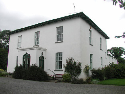 Aghsmear Househouse · 1.1 mi
 CastleCastle, unclassified · 1.5 mi
 Roscrea Petty Sessions HouseHeritage attraction · 2.2 mi
 European ashEuropean ash · 2.4 mi
 European YewEuropean Yew · 2.6 mi
 Black HillMountain / peak · 2.8 mi
 Millennium GardenMemorial · 3.1 mi
 Saint Kieran's WellSpring · 4.3 mi