What is recorded here
In gently undulating grassland. Marked on the 1838 edition of the OS 6-inch map as a subcircular enclosure (c. 27m E-W; c. 25m N-S). On the OS 1:2500 plan (surveyed 1912-16) it is indicated by a curving line of hachures from E to S and by a curving field boundary from S to W. An ENE-WSE running field boundary cut across it from E to WSW and another NNE-SSE running boundary off this one cut it a t SSE. All that survived on inspection in April 1985 was a low scarp curving from E to S.
Compiled by: Galway Archaeological Survey, UCG
Date of upload: 19 July 2019
The monument record does not grant public access. Check the route and ask the landowner before entering private land.
- What survives
- Recorded monument
Places near here
 Enclosure in CahernagarryEnclosure · 121 yd
 LisheenabastyFairy fort / earthen ringfort · 1.0 mi
 Kilboght Convent (in ruins)Religious house, Franciscan Third Order Regular · 1.1 mi
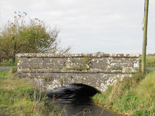 Carra Bridgebridge · 1.4 mi
 Drought Castle (in Ruins)Castle, tower house · 1.5 mi
 Dartfield Horse MuseumHeritage attraction · 1.7 mi
 Turoe StoneHeritage attraction · 2.3 mi
 Galboley Castle (in ruins)Castle, unclassified · 2.5 mi
 Bush IslandIslet · 3.8 mi
 Middle IslandIslet · 3.8 mi
 Long PointHeadland · 4.3 mi
 Battle of AughrimMajor battlefield · 9.1 mi