
What is recorded here
On a hillock in gently undulating pastureland and occupying the E half of an associated graveyard (GA098-111001-). A nunnery was founded here by St Patrick for his sister St Richella. By 1563 it was occupied by Franciscan monks (Gwynn and Hadcock 1970, 271). What survives is a multiphase medieval church, in fair condition, consisting of a rectangular nave (21.8m E-W; 6.25m N-S) with a S transept (7.7m N-S; 5.6m E-W). The 1838 and 1933 editions of the OS 6-inch map also show a lateral extension to the N at the E end of the church; it was possibly the sacristy. All that now survives of this is the low foundation line (L 5.7m) of its W wall. Of the church, which is heavily overgrown with ivy, the W gable, the W half of the N wall and most of the S wall survive but the E gable has been levelled and only the foundation line of the E half of the N wall is visible. The S wall is in a much-collapsed state to the E of the transept; all the walls of the latter structure survive; it appears to be a later addition as its E wall is not bonded into the nave. The main surviving architectural features in the nave include a pointed-arch doorway in the W gable with a beautiful font in its S jamb and a round-headed single-light window set off-centre above it, a piscina and two rectangular windows in the S wall, one of which is blocked up. In the transept there is a fine pointed two-light window with a quatrefoil in the S gable and a rectangular window in the E wall; a modern graveslab has been inserted into the lower half of the latter one. Two medieval graveslabs (GA098-111003- and GA098-111004-) are visible within the nave. (O’Flanagan 1927, Vol. 1, 485-8)
Compiled by: Galway Archaeological Survey, UCG
Date of upload: 19 February 2020
Kilboght Convent was founded by St Patrick for his sister St Richella in the 5th century; it is a significant early Christian site associated with monastic and religious activity in Ireland. The convent was later occupied by nuns, including Francisca in 1563.
The monument record does not grant public access. Check the route and ask the landowner before entering private land.
- What survives
- Recorded monument
Places near here
 Drought Castle (in Ruins)Castle, tower house · 920 yd
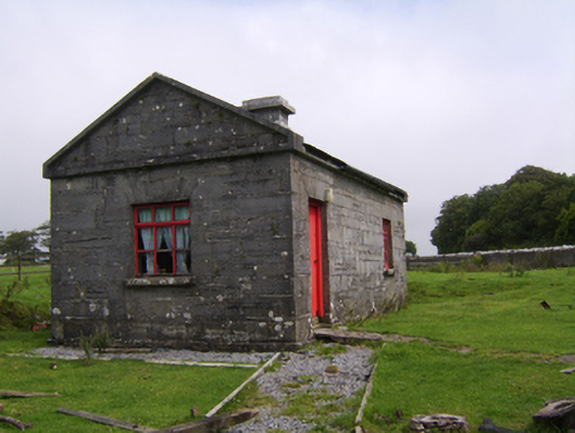 Dartfieldgate lodge · 1350 yd
 Dartfield Horse MuseumHeritage attraction · 1364 yd
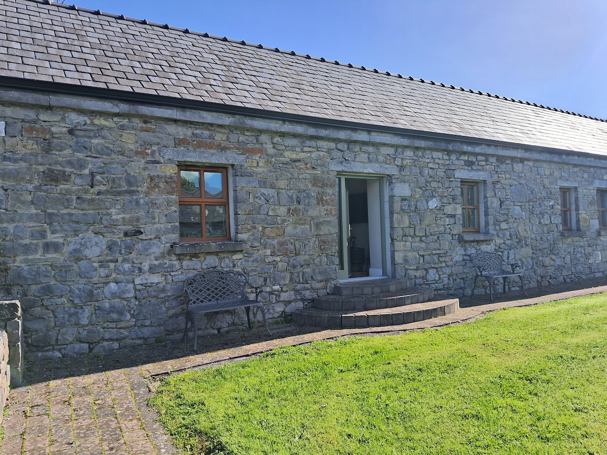 CaveMan-made underground passage · 1641 yd
 Enclosure in Ballybroder (bullaun Ed)Enclosure · 1706 yd
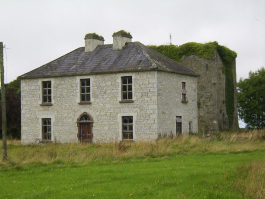 Ballybroder Househouse · 1.1 mi
 Kilcooly Castle (in ruins)Castle, tower house · 2.4 mi
 Turoe StoneHeritage attraction · 3.3 mi
 Bush IslandIslet · 3.7 mi
 Middle IslandIslet · 3.7 mi
 Long PointHeadland · 3.9 mi
 Quarryhill WoodWood · 8.0 mi
Other information
Photo: Credit not shown in the picture search · Rights wording not checked; contact us if this picture should be removed