
What is recorded here
Some 20m to the W of a rath (GA106-010----). Indicated on the 1838 edition of the OS 6-inch map as a limekiln; on the OS 1:2500 plan (surveyed 1912-16) a hachured oval enclosure (c. 17 NE-SW; c. 10m ENE-WSW) defined by a bank and named 'Gravel Pit (Disused)' is shown. On the 1933 edition of the OS 6-inch map it is also depicted as an oval enclosure. No visible surface trace survives.
Compiled by: Galway Archaeological Survey, UCG
Date of upload: 8 February 2019
The monument record does not grant public access. Check the route and ask the landowner before entering private land.
- What survives
- Recorded monument
Places near here
 CaveMan-made underground passage · 66 yd
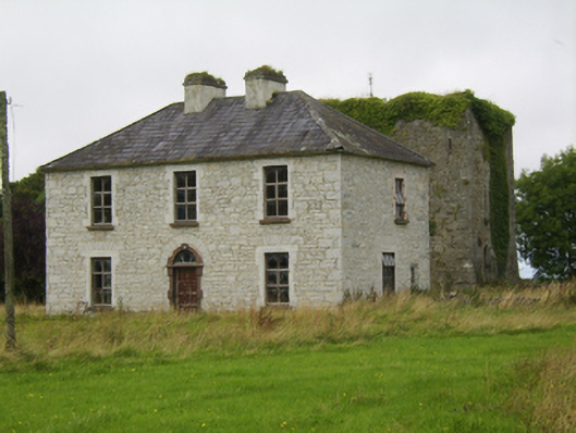 Ballybroder Househouse · 300 yd
 Ladys WellHoly well · 434 yd
 Kilboght Convent (in ruins)Religious house, Franciscan Third Order Regular · 1706 yd
 Drought Castle (in Ruins)Castle, tower house · 1.4 mi
 Dartfield Horse MuseumHeritage attraction · 1.7 mi
 Ballygasty Castle in ruinsCastle, unclassified · 2.0 mi
 Bush IslandIslet · 2.7 mi
 Middle IslandIslet · 2.7 mi
 Turoe StoneHeritage attraction · 2.9 mi
 Long PointHeadland · 3.0 mi
 Quarryhill WoodWood · 8.4 mi
Other information
Photo: Credit not shown in the picture search · Rights wording not checked; contact us if this picture should be removed