
What is recorded here
In level grassland. Known locally as ‘Lisin na bPaistidh’ (O'Flanagan 1927, Vol. 1, 499), this very poorly preserved subcircular rath (38m E-W; 36.2m N-S) is defined by a bank which is visible only from E to ESE. Elsewhere a scarp forms the enclosing element. A field bank overlies the monument from N to E. There is a children’s burial ground (GA098-065001-) and a Man-made underground passage (GA098-065002-) within the interior.
Compiled by: Galway Archaeological Survey, UCG
Date of upload: 24 January 2017
A local fairy fort (ringfort/rath); wider significance not recorded.
The monument record does not grant public access. Check the route and ask the landowner before entering private land.
- What survives
- Recorded monument
Places near here
 LisheenafinogeFairy fort / earthen ringfort · 642 yd
 Field system in Carrowmore (loughrea By.)Field system · 1008 yd
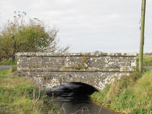 Carra Bridgebridge · 1154 yd
 BenmoreHouse, 18th/19th century · 1.2 mi
 Turoe StoneHeritage attraction · 1.7 mi
 Galboley Castle (in ruins)Castle, unclassified · 1.8 mi
 Drought Castle (in Ruins)Castle, tower house · 2.5 mi
 Dartfield Horse MuseumHeritage attraction · 2.6 mi
 Bush IslandIslet · 4.4 mi
 Middle IslandIslet · 4.4 mi
 Long PointHeadland · 5.0 mi
 Battle of Aughrim Interpretative CentreMuseum · 9.0 mi
Other information
Photo: Credit not shown in the picture search · Rights wording not checked; contact us if this picture should be removed