What is recorded here
Caherclogh is a circular earthen ringfort about thirty metres across, hidden beneath dense overgrowth on a gentle south-facing slope in County Limerick. Its low bank still stands, though grass and thorns have swallowed most of the interior. People may have lived there before the field boundary cut past it, but the land has kept that memory quiet.
In pasture, on gentle S-facing slope. Roughly circular area (diam. c. 30m) enclosed by earthen bank (int. H 0.65m; ext. H 0.9m). Running just outside bank S->E is field boundary. Interior and bank are covered for the most part by dense overgrowth.
Compiled by: Denis Power
Date of upload: 26 August 2011
See attached ASI aerial photograph ASIAP – 325/30 on 05/10/2002.
The monument record does not grant public access. Check the route and ask the landowner before entering private land.
- What survives
- Recorded monument
Places near here
 Church (in ruins)Church · 898 yd
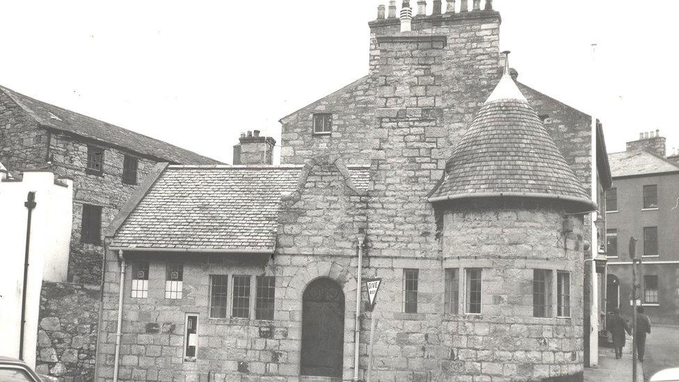 Enclosure in Castletown (connello Upper By.)Enclosure · 966 yd
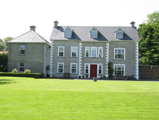 Castletown Conyerscountry house · 970 yd
 IndicatedCastle, motte · 1001 yd
 Castle (in ruins)Castle, hall-house · 1083 yd
 Our Lady's WellSpring · 1122 yd
 Enclosure in Ballynoe (connello Upper By., Ballynoe Ed)Enclosure · 1.3 mi
 Saint Derivla's WellSpring · 1.9 mi
 Famine stoneMemorial · 3.5 mi
 KnockfeerinaMountain / peak · 3.5 mi
 National Co-op MuseumMuseum · 6.7 mi
 Mullaghareirk - Banane LoopWalking route · 12 mi