What is recorded here
Situated on a slight E and NE-facing slope. The cropmark of a circular enclosure (int. diam. c. 25-30m) defined by a single fosse feature and with an entrance at N was recorded by a drone-mounted camera operated by Páid Bates (Skypix Aerial Works) during July 2018.
See the attached aerial view taken from E courtesy of Skypix Aerial Works
Compiled by: Michael Moore
Date of upload: 02 January, 2019
A fairy fort or earthen ringfort in Broomhill is a likely early-medieval circular enclosure, defined by a single fosse and an entrance to the north, indicating a typical Irish ringfort design. Local tradition associates such sites with fairy folklore, often regarded as the homes of supernatural beings or places of ancient ritual significance.
The monument record does not grant public access. Check the route and ask the landowner before entering private land.
- What survives
- Recorded monument
Places near here
 Enclosure in LewistownEnclosure · 408 yd
 Dollar Bay BeachBeach / strand · 553 yd
 ToberlukeHoly well · 705 yd
 Not inidcatedBawn · 875 yd
 Booley Bay BeachBeach / strand · 1076 yd
 Carricjmore CliffCliff · 1533 yd
 IndicatedCastle, ringwork · 1576 yd
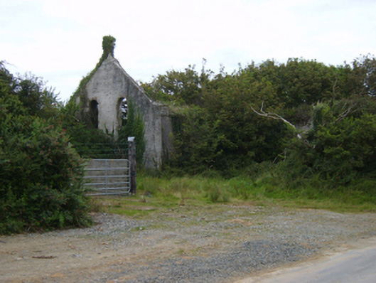 Templetown Catholic Chapelchurch/chapel · 1597 yd
 Templetown Churchchurch/chapel · 1642 yd
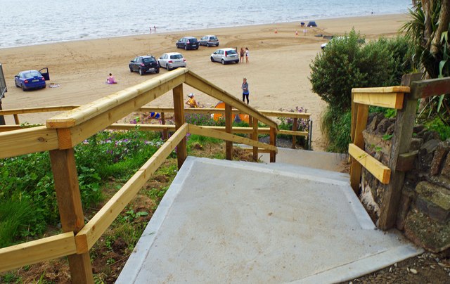 Duncannon BeachVisitor information · 2.4 mi
 Knockavelish HeadHeadland · 3.1 mi
 Common WhitebeamCommon Whitebeam · 3.8 mi